Distance to and from Axson, Georgia
Axson, GA 31624
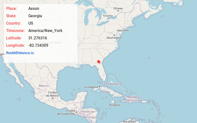
Axson
Georgia
US
America/New_York
Location Information
-
Full AddressAxson, GA 31624
-
Coordinates31.2763162, -82.7343089
-
LocationAxson , Georgia , US
-
TimezoneAmerica/New_York
-
Current Local Time10:08:11 PM America/New_YorkTuesday, May 6, 2025
-
Page Views0
Directions to Nearest Cities
About Axson
Axson is an unincorporated community and census designated place in Atkinson County, Georgia, United States. The community is located on U.S. Route 82, 7.1 miles east of Pearson. Axson has a post office with ZIP code 31624. Per the 2020 census, the population was 360.
Nearby Places
Found 10 places within 50 miles

Pearson
7.1 mi
11.4 km
Pearson, GA 31642
Get directions

Argyle
14.9 mi
24.0 km
Argyle, GA
Get directions

Waresboro
15.5 mi
24.9 km
Waresboro, GA 31503
Get directions

Homerville
16.6 mi
26.7 km
Homerville, GA 31634
Get directions

Douglas
17.5 mi
28.2 km
Douglas, GA
Get directions
Nicholls
17.7 mi
28.5 km
Nicholls, GA 31554
Get directions

Willacoochee
19.0 mi
30.6 km
Willacoochee, GA
Get directions
Deenwood
21.5 mi
34.6 km
Deenwood, GA
Get directions

Waycross
22.9 mi
36.9 km
Waycross, GA
Get directions

Alma
24.2 mi
38.9 km
Alma, GA 31510
Get directions
Pearson
7.1 mi
11.4 km
Pearson, GA 31642
Argyle
14.9 mi
24.0 km
Argyle, GA
Waresboro
15.5 mi
24.9 km
Waresboro, GA 31503
Homerville
16.6 mi
26.7 km
Homerville, GA 31634
Douglas
17.5 mi
28.2 km
Douglas, GA
Nicholls
17.7 mi
28.5 km
Nicholls, GA 31554
Willacoochee
19.0 mi
30.6 km
Willacoochee, GA
Deenwood
21.5 mi
34.6 km
Deenwood, GA
Waycross
22.9 mi
36.9 km
Waycross, GA
Alma
24.2 mi
38.9 km
Alma, GA 31510
Location Links
Local Weather
Weather Information
Coming soon!
Location Map
Static map view of Axson, Georgia
Browse Places by Distance
Places within specific distances from Axson
Short Distances
Long Distances
Click any distance to see all places within that range from Axson. Distances shown in miles (1 mile ≈ 1.61 kilometers).