Distance to Do Stop, Kentucky

Calculating Your Route
Just a moment while we process your request...
Location Information
-
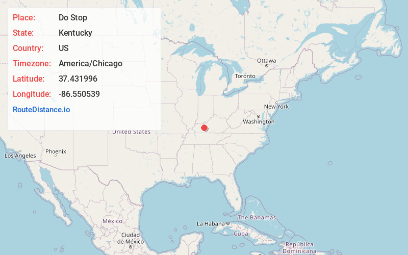
Full AddressDo Stop, KY 42721
-
Coordinates37.4319957, -86.550539
-
LocationKentucky , US
-
TimezoneAmerica/Chicago
-
Current Local Time8:49:55 AM America/ChicagoSaturday, June 14, 2025
-
Page Views0
Nearby Places
Found 10 places within 50 miles

Steff
3.0 mi
4.8 km
Steff, KY 42721
Get directions
Jugville
3.4 mi
5.5 km
Jugville, KY 42721
Get directions

Caneyville
3.4 mi
5.5 km
Caneyville, KY 42721
Get directions
Neafus
4.2 mi
6.8 km
Neafus, KY 42721
Get directions
Peth
6.5 mi
10.5 km
Peth, KY 42721
Get directions

Short Creek
7.8 mi
12.6 km
Short Creek, KY 40119
Get directions
Renfrow
7.8 mi
12.6 km
Renfrow, KY 42349
Get directions
Hites Falls
8.0 mi
12.9 km
Hites Falls, KY 40119
Get directions
Banock
8.0 mi
12.9 km
Banock, KY 42261
Get directions
Dexterville
9.8 mi
15.8 km
Dexterville, KY 42261
Get directions
Location Links
Local Weather
Weather Information
Coming soon!
Location Map
Static map view of Do Stop, Kentucky
Browse Places by Distance
Places within specific distances from Do Stop
Short Distances
Long Distances
Click any distance to see all places within that range from Do Stop. Distances shown in miles (1 mile ≈ 1.61 kilometers).