Distance to Steff, Kentucky

Calculating Your Route
Just a moment while we process your request...
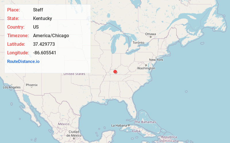
Location Information
-
Full AddressSteff, KY 42721
-
Coordinates37.429773, -86.6055406
-
LocationSteff , Kentucky , US
-
TimezoneAmerica/Chicago
-
Current Local Time4:35:04 PM America/ChicagoWednesday, June 18, 2025
-
Page Views0
Nearby Places
Found 10 places within 50 miles

Jugville
2.3 mi
3.7 km
Jugville, KY 42721
Get directions
Banock
6.1 mi
9.8 km
Banock, KY 42261
Get directions

Caneyville
6.4 mi
10.3 km
Caneyville, KY 42721
Get directions

Rosine
7.5 mi
12.1 km
Rosine, KY
Get directions
Dexterville
8.2 mi
13.2 km
Dexterville, KY 42261
Get directions

Short Creek
9.9 mi
15.9 km
Short Creek, KY 40119
Get directions
Dundee
12.8 mi
20.6 km
Dundee, KY 42347
Get directions
Sunnydale
13.8 mi
22.2 km
Sunnydale, KY 42347
Get directions
Rockvale
14.1 mi
22.7 km
Rockvale, KY 40119
Get directions

Morgantown
14.7 mi
23.7 km
Morgantown, KY 42261
Get directions
Location Links
Local Weather
Weather Information
Coming soon!
Location Map
Static map view of Steff, Kentucky
Browse Places by Distance
Places within specific distances from Steff
Short Distances
Long Distances
Click any distance to see all places within that range from Steff. Distances shown in miles (1 mile ≈ 1.61 kilometers).