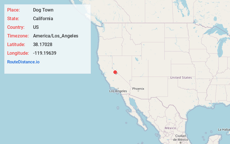
Distance to Dog Town, California

Calculating Your Route
Just a moment while we process your request...
Location Information
-
Full AddressDog Town, CA 93517
-
Coordinates38.17028, -119.19639
-
LocationDog Town , California , US
-
TimezoneAmerica/Los_Angeles
-
Current Local Time10:51:16 PM America/Los_AngelesSaturday, May 31, 2025
-
Page Views0
About Dog Town
Dog Town is a gold rush era ghost town in Mono County, California. It is located at 38°10′13″N 119°11′51″W, on Dog Creek, near the junction of Clearwater and Virginia Creeks, about 6 miles south-southeast of Bridgeport, at an elevation of 7057 feet.
Nearby Places
Found 10 places within 50 miles
Dunderberg Mill
5.4 mi
8.7 km
Dunderberg Mill, CA 93541
Get directions
Bridgeport
6.2 mi
10.0 km
Bridgeport, CA 93517
Get directions

Mono City
9.2 mi
14.8 km
Mono City, CA 93541
Get directions
Lundy
10.2 mi
16.4 km
Lundy, CA 93541
Get directions
Bodie
10.4 mi
16.7 km
Bodie, CA
Get directions

Upper Town
13.4 mi
21.6 km
Upper Town, CA 93517
Get directions

Lower Town
14.2 mi
22.9 km
Lower Town, CA 93517
Get directions
Lee Vining
15.3 mi
24.6 km
Lee Vining, CA 93541
Get directions
Fales Hot Springs
16.6 mi
26.7 km
Fales Hot Springs, CA 93517
Get directions

Del Monte
16.8 mi
27.0 km
Del Monte, NV 89415
Get directions
Location Links
Local Weather
Weather Information
Coming soon!
Location Map

Static map view of Dog Town, California
Browse Places by Distance
Places within specific distances from Dog Town
Short Distances
Long Distances
Click any distance to see all places within that range from Dog Town. Distances shown in miles (1 mile ≈ 1.61 kilometers).