Distance to Doris, Iowa

Calculating Your Route
Just a moment while we process your request...
Location Information
-
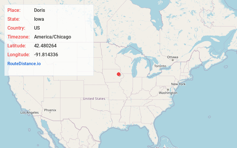
Full AddressDoris, IA 50644
-
Coordinates42.4802637, -91.8143357
-
LocationDoris , Iowa , US
-
TimezoneAmerica/Chicago
-
Current Local Time6:55:58 PM America/ChicagoWednesday, June 25, 2025
-
Page Views0
About Doris
Doris and Bethel are twin town sites in Buchanan County, Iowa, United States, both located just north of Highway 939 in central Buchanan County near Independence. Founded as whistle-stops along the Chicago and North Western Railway, the sites are abandoned today.
Nearby Places
Found 10 places within 50 miles

Independence
3.9 mi
6.3 km
Independence, IA 50644
Get directions

Winthrop
4.1 mi
6.6 km
Winthrop, IA 50682
Get directions

Quasqueton
6.5 mi
10.5 km
Quasqueton, IA
Get directions

Otterville
7.0 mi
11.3 km
Otterville, IA 50644
Get directions
Rowley
7.8 mi
12.6 km
Rowley, IA 52329
Get directions
Bryantsburg
8.0 mi
12.9 km
Bryantsburg, IA 50641
Get directions
Aurora
10.5 mi
16.9 km
Aurora, IA 50607
Get directions

Hazleton
10.6 mi
17.1 km
Hazleton, IA 50641
Get directions

Stanley
11.2 mi
18.0 km
Stanley, IA 50671
Get directions
Masonville
11.4 mi
18.3 km
Masonville, IA 50654
Get directions
Location Links
Local Weather
Weather Information
Coming soon!
Location Map
Static map view of Doris, Iowa
Browse Places by Distance
Places within specific distances from Doris
Short Distances
Long Distances
Click any distance to see all places within that range from Doris. Distances shown in miles (1 mile ≈ 1.61 kilometers).