Distance to Douglas, Minnesota

Calculating Your Route
Just a moment while we process your request...
Location Information
-
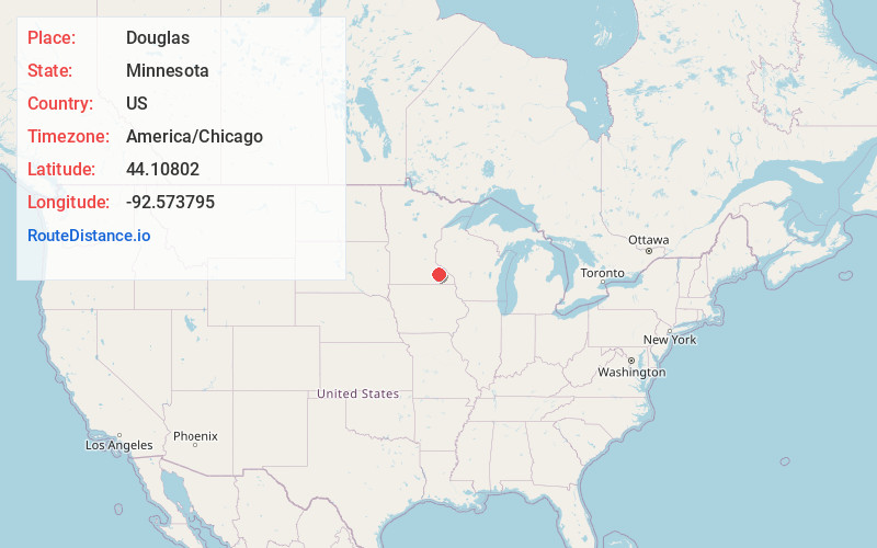
Full AddressDouglas, MN 55960
-
Coordinates44.1080202, -92.5737946
-
LocationDouglas , Minnesota , US
-
TimezoneAmerica/Chicago
-
Current Local Time7:13:05 AM America/ChicagoThursday, July 3, 2025
-
Page Views0
About Douglas
Douglas is an unincorporated community in Olmsted County, Minnesota, United States. The community is located along 75th Street NW near its junction with County Road 3. Douglas is located within Kalmar Township and New Haven Township. Nearby places include Oronoco, Rochester, and the Douglas State Trail.


Nearby Places
Found 10 places within 50 miles

Genoa
1.7 mi
2.7 km
Genoa, MN 55920
Get directions
Post Town
3.4 mi
5.5 km
Post Town, Kalmar Township, MN 55920
Get directions

Oronoco
4.5 mi
7.2 km
Oronoco, MN 55960
Get directions
Danesville
5.3 mi
8.5 km
Danesville, Mantorville Township, MN 55955
Get directions

Byron
6.3 mi
10.1 km
Byron, MN 55920
Get directions

Pine Island
7.4 mi
11.9 km
Pine Island, MN
Get directions

Rochester
8.4 mi
13.5 km
Rochester, MN
Get directions
Ringe
8.7 mi
14.0 km
Ringe, Farmington Township, MN 55906
Get directions

Mantorville
9.4 mi
15.1 km
Mantorville, MN
Get directions
South Troy
9.7 mi
15.6 km
South Troy, MN 55906
Get directions
Location Links
Local Weather
Weather Information
Coming soon!
Location Map
Static map view of Douglas, Minnesota
Browse Places by Distance
Places within specific distances from Douglas
Short Distances
Long Distances
Click any distance to see all places within that range from Douglas. Distances shown in miles (1 mile ≈ 1.61 kilometers).