Distance to Dowdville, Mississippi

Calculating Your Route
Just a moment while we process your request...
Location Information
-
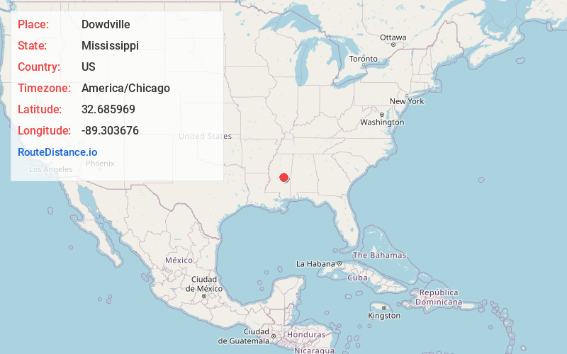
Full AddressDowdville, MS 39051
-
Coordinates32.6859694, -89.3036763
-
LocationMississippi , US
-
TimezoneAmerica/Chicago
-
Current Local Time12:35:08 PM America/ChicagoTuesday, June 24, 2025
-
Page Views0
Nearby Places
Found 10 places within 50 miles

High Hill
4.3 mi
6.9 km
High Hill, MS 39365
Get directions
Neville
7.8 mi
12.6 km
Neville, MS 39365
Get directions

Sebastopol
8.0 mi
12.9 km
Sebastopol, MS
Get directions

Pearl River
8.1 mi
13.0 km
Pearl River, MS 39350
Get directions
Standing Pine
8.6 mi
13.8 km
Standing Pine, MS
Get directions
Walnut Grove
11.2 mi
18.0 km
Walnut Grove, MS 39189
Get directions

Philadelphia
12.4 mi
20.0 km
Philadelphia, MS 39350
Get directions

Union
13.2 mi
21.2 km
Union, MS 39365
Get directions
Luther
13.7 mi
22.0 km
Luther, MS 39051
Get directions

Carthage
13.9 mi
22.4 km
Carthage, MS 39051
Get directions
Location Links
Local Weather
Weather Information
Coming soon!
Location Map
Static map view of Dowdville, Mississippi
Browse Places by Distance
Places within specific distances from Dowdville
Short Distances
Long Distances
Click any distance to see all places within that range from Dowdville. Distances shown in miles (1 mile ≈ 1.61 kilometers).