Distance to Sebastopol, Mississippi

Calculating Your Route
Just a moment while we process your request...
Location Information
-
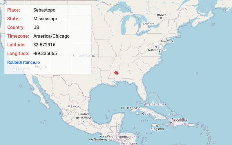
Full AddressSebastopol, MS
-
Coordinates32.5729163, -89.3350649
-
LocationSebastopol , Mississippi , US
-
TimezoneAmerica/Chicago
-
Current Local Time9:39:38 AM America/ChicagoMonday, June 23, 2025
-
Page Views0
About Sebastopol
Sebastopol is a town in Leake and Scott counties, Mississippi. The population was 266 at the 2020 census.


Nearby Places
Found 10 places within 50 miles

Walnut Grove
7.3 mi
11.7 km
Walnut Grove, MS 39189
Get directions
Conehatta
8.9 mi
14.3 km
Conehatta, MS 39057
Get directions
Standing Pine
9.9 mi
15.9 km
Standing Pine, MS
Get directions
Harperville
10.5 mi
16.9 km
Harperville, MS 39074
Get directions

Union
12.4 mi
20.0 km
Union, MS 39365
Get directions
Hillsboro
12.9 mi
20.8 km
Hillsboro, MS 39074
Get directions

Pearl River
15.8 mi
25.4 km
Pearl River, MS 39350
Get directions
Lake
15.9 mi
25.6 km
Lake, MS
Get directions

Carthage
16.1 mi
25.9 km
Carthage, MS 39051
Get directions

Decatur
16.1 mi
25.9 km
Decatur, MS 39327
Get directions
Location Links
Local Weather
Weather Information
Coming soon!
Location Map
Static map view of Sebastopol, Mississippi
Browse Places by Distance
Places within specific distances from Sebastopol
Short Distances
Long Distances
Click any distance to see all places within that range from Sebastopol. Distances shown in miles (1 mile ≈ 1.61 kilometers).