Distance to Doyles, Illinois

Calculating Your Route
Just a moment while we process your request...
Location Information
-
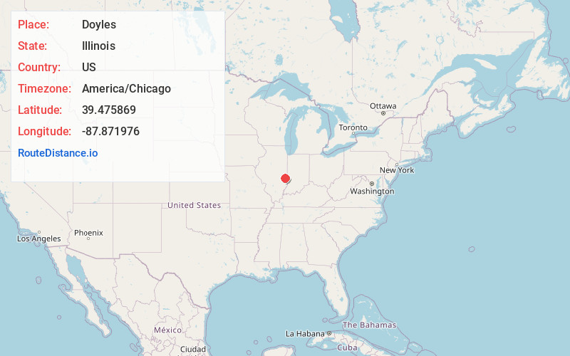
Full AddressDoyles, Dolson Township, IL 61933
-
Coordinates39.4758686, -87.8719763
-
LocationDolson Township , Illinois , US
-
TimezoneAmerica/Chicago
-
Current Local Time8:33:59 AM America/ChicagoTuesday, June 24, 2025
-
Page Views0
About Doyles
Doyles is an unincorporated community in Clark County, Illinois, United States. Doyles is 8 miles east-northeast of Westfield.
Nearby Places
Found 10 places within 50 miles

Cleone
4.1 mi
6.6 km
Cleone, Parker Township, IL 62442
Get directions
Clarksville
4.3 mi
6.9 km
Clarksville, IL 62441
Get directions

Kansas
6.4 mi
10.3 km
Kansas, IL 61933
Get directions
Dudley
7.1 mi
11.4 km
Dudley, Grandview Township, IL 61933
Get directions
Castle Fin
7.4 mi
11.9 km
Castle Fin, Douglas Township, IL 62441
Get directions
Clark County
8.2 mi
13.2 km
Clark County, IL
Get directions
Oilfield
8.4 mi
13.5 km
Oilfield, Parker Township, IL 62420
Get directions
Adenmoor
8.8 mi
14.2 km
Adenmoor, IL 62442
Get directions

Ashmore
8.9 mi
14.3 km
Ashmore, IL 61912
Get directions
Conlogue
8.9 mi
14.3 km
Conlogue, Grandview Township, IL 61944
Get directions
Location Links
Local Weather
Weather Information
Coming soon!
Location Map
Static map view of Doyles, Illinois
Browse Places by Distance
Places within specific distances from Doyles
Short Distances
Long Distances
Click any distance to see all places within that range from Doyles. Distances shown in miles (1 mile ≈ 1.61 kilometers).