Distance to and from Drewryville, Virginia
Drewryville, VA
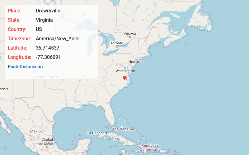
Drewryville
Virginia
US
America/New_York
Location Information
-
Full AddressDrewryville, VA
-
Coordinates36.7145369, -77.3060912
-
LocationDrewryville , Virginia , US
-
TimezoneAmerica/New_York
-
Current Local Time4:54:50 PM America/New_YorkSaturday, May 3, 2025
-
Page Views0
Directions to Nearest Cities
About Drewryville
Drewryville is an unincorporated community in western Southampton County, Virginia, United States, off U.S. Route 58. It lies at an elevation of 98 feet.
The Aspen Lawn was listed on the National Register of Historic Places in 2002.
Nearby Places
Found 10 places within 50 miles

Capron
5.9 mi
9.5 km
Capron, VA 23829
Get directions

Claresville
10.2 mi
16.4 km
Claresville, VA 23847
Get directions
Branchville
10.5 mi
16.9 km
Branchville, VA 23828
Get directions
Boykins
10.8 mi
17.4 km
Boykins, VA 23827
Get directions
Jarratt
11.3 mi
18.2 km
Jarratt, VA 23867
Get directions

Newsoms
11.8 mi
19.0 km
Newsoms, VA
Get directions
Howells Mill
12.1 mi
19.5 km
Howells Mill, VA 23897
Get directions
Turners Crossroads
13.1 mi
21.1 km
Turners Crossroads, NC 27853
Get directions
Courtland
13.2 mi
21.2 km
Courtland, VA 23837
Get directions

Emporia
13.2 mi
21.2 km
Emporia, VA 23847
Get directions
Capron
5.9 mi
9.5 km
Capron, VA 23829
Claresville
10.2 mi
16.4 km
Claresville, VA 23847
Branchville
10.5 mi
16.9 km
Branchville, VA 23828
Boykins
10.8 mi
17.4 km
Boykins, VA 23827
Jarratt
11.3 mi
18.2 km
Jarratt, VA 23867
Newsoms
11.8 mi
19.0 km
Newsoms, VA
Howells Mill
12.1 mi
19.5 km
Howells Mill, VA 23897
Turners Crossroads
13.1 mi
21.1 km
Turners Crossroads, NC 27853
Courtland
13.2 mi
21.2 km
Courtland, VA 23837
Emporia
13.2 mi
21.2 km
Emporia, VA 23847
Location Links
Local Weather
Weather Information
Coming soon!
Location Map
Static map view of Drewryville, Virginia
Browse Places by Distance
Places within specific distances from Drewryville
Short Distances
Long Distances
Click any distance to see all places within that range from Drewryville. Distances shown in miles (1 mile ≈ 1.61 kilometers).