Distance to Jarratt, Virginia

Calculating Your Route
Just a moment while we process your request...
Location Information
-
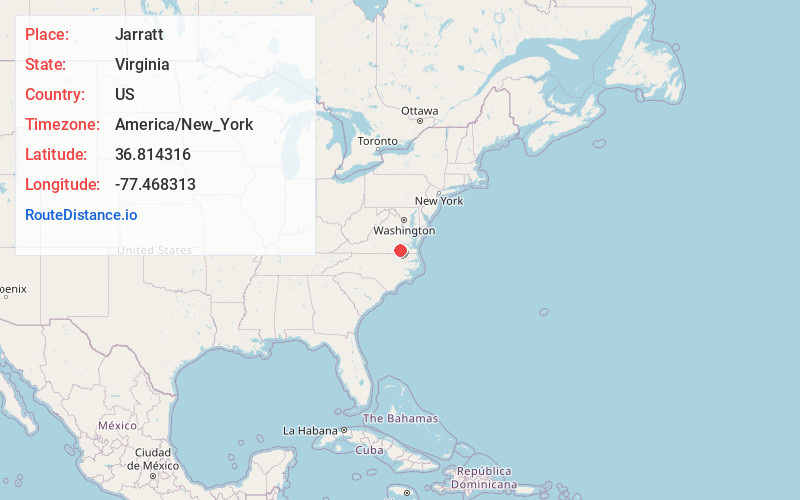
Full AddressJarratt, VA 23867
-
Coordinates36.8143161, -77.468313
-
LocationJarratt , Virginia , US
-
TimezoneAmerica/New_York
-
Current Local Time5:33:22 AM America/New_YorkWednesday, June 18, 2025
-
Page Views0
About Jarratt
Jarratt is a town in Greensville and Sussex counties in the U.S. state of Virginia. The population was 652 at the 2020 census. In 1848, Jarratt was a stop on the Petersburg Railroad. Jaratt was incorporated in 1938.
Nearby Places
Found 10 places within 50 miles

Emporia
9.8 mi
15.8 km
Emporia, VA 23847
Get directions

Lawrenceville
21.3 mi
34.3 km
Lawrenceville, VA 23868
Get directions

Courtland
23.2 mi
37.3 km
Courtland, VA 23837
Get directions

Waverly
25.7 mi
41.4 km
Waverly, VA 23890
Get directions

Roanoke Rapids
26.5 mi
42.6 km
Roanoke Rapids, NC 27870
Get directions

Weldon
27.7 mi
44.6 km
Weldon, NC 27890
Get directions
South Rosemary
28.1 mi
45.2 km
South Rosemary, NC 27870
Get directions

Wakefield
28.5 mi
45.9 km
Wakefield, VA 23888
Get directions

Matoaca
28.8 mi
46.3 km
Matoaca, VA 23803
Get directions

Petersburg
28.8 mi
46.3 km
Petersburg, VA
Get directions
Location Links
Local Weather
Weather Information
Coming soon!
Location Map
Static map view of Jarratt, Virginia
Browse Places by Distance
Places within specific distances from Jarratt
Short Distances
Long Distances
Click any distance to see all places within that range from Jarratt. Distances shown in miles (1 mile ≈ 1.61 kilometers).