Distance to Dry Branch, West Virginia

Calculating Your Route
Just a moment while we process your request...
Location Information
-
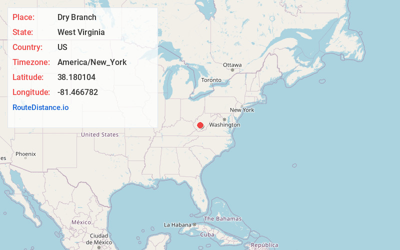
Full AddressDry Branch, WV 25035
-
Coordinates38.1801038, -81.4667819
-
LocationDry Branch , West Virginia , US
-
TimezoneAmerica/New_York
-
Current Local Time1:47:34 PM America/New_YorkTuesday, July 1, 2025
-
Page Views0
About Dry Branch
Dry Branch is an unincorporated community in Kanawha County, West Virginia, United States. Dry Branch is 3 miles southwest of East Bank, along Cabin Creek. Dry Branch has a post office with ZIP code 25061.
The community takes its name from nearby Dry Branch creek.
Nearby Places
Found 10 places within 50 miles

Cabin Creek
1.2 mi
1.9 km
Cabin Creek, WV 25035
Get directions

Ronda
1.4 mi
2.3 km
Ronda, WV 25134
Get directions

Chelyan
1.7 mi
2.7 km
Chelyan, WV
Get directions
Shrewsbury
1.8 mi
2.9 km
Shrewsbury, WV 25015
Get directions
Coalburg
1.9 mi
3.1 km
Coalburg, WV 25067
Get directions

Miami
2.2 mi
3.5 km
Miami, WV 25134
Get directions
Monarch
2.5 mi
4.0 km
Monarch, Shrewsbury, WV 25015
Get directions
Dawes
2.7 mi
4.3 km
Dawes, WV 25134
Get directions
Dickinson
2.8 mi
4.5 km
Dickinson, WV 25015
Get directions
East Bank
2.9 mi
4.7 km
East Bank, WV 25067
Get directions
Location Links
Local Weather
Weather Information
Coming soon!
Location Map
Static map view of Dry Branch, West Virginia
Browse Places by Distance
Places within specific distances from Dry Branch
Short Distances
Long Distances
Click any distance to see all places within that range from Dry Branch. Distances shown in miles (1 mile ≈ 1.61 kilometers).