Distance to Dry Creek, Louisiana

Calculating Your Route
Just a moment while we process your request...
Location Information
-
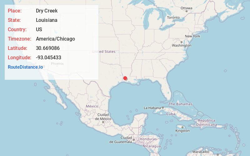
Full AddressDry Creek, LA 70637
-
Coordinates30.6690861, -93.0454332
-
LocationDry Creek , Louisiana , US
-
TimezoneAmerica/Chicago
-
Current Local Time10:49:00 PM America/ChicagoThursday, May 22, 2025
-
Page Views0
About Dry Creek
Dry Creek is a rural unincorporated community in the east-central portion of Beauregard Parish, Louisiana, United States. It lies 20 miles southeast of DeRidder on the corner of Louisiana highways 113 and 394.
Nearby Places
Found 10 places within 50 miles

Harmony
9.3 mi
15.0 km
Harmony, LA 70648
Get directions
Reeves
10.2 mi
16.4 km
Reeves, LA 70658
Get directions

Longville
11.9 mi
19.2 km
Longville, LA 70652
Get directions
Sugartown
11.9 mi
19.2 km
Sugartown, LA
Get directions
Le Blanc
12.5 mi
20.1 km
Le Blanc, LA 70658
Get directions

Allen Parish
12.5 mi
20.1 km
Allen Parish, LA
Get directions
Cole Central
14.9 mi
24.0 km
Cole Central, LA 70656
Get directions

Oberlin
17.1 mi
27.5 km
Oberlin, LA
Get directions

Kinder
17.2 mi
27.7 km
Kinder, LA 70648
Get directions
Bon Ami
17.7 mi
28.5 km
Bon Ami, LA 70634
Get directions
Location Links
Local Weather
Weather Information
Coming soon!
Location Map
Static map view of Dry Creek, Louisiana
Browse Places by Distance
Places within specific distances from Dry Creek
Short Distances
Long Distances
Click any distance to see all places within that range from Dry Creek. Distances shown in miles (1 mile ≈ 1.61 kilometers).