Distance to Dry Forks, Alabama

Calculating Your Route
Just a moment while we process your request...
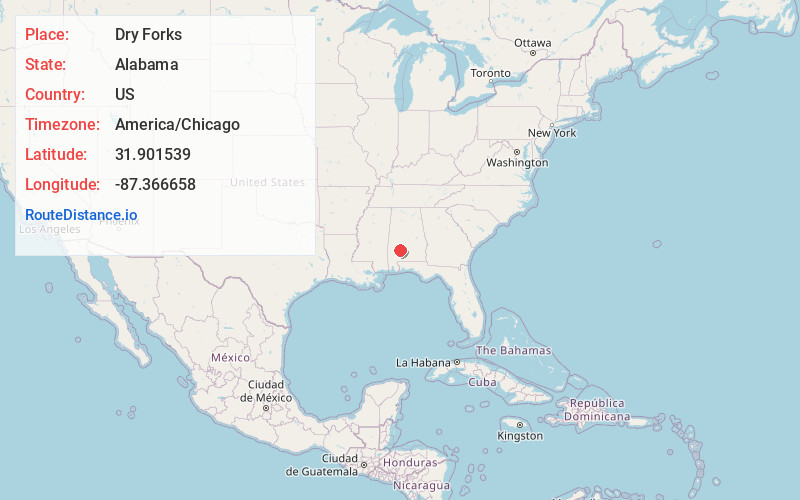
Location Information
-
Full AddressDry Forks, AL 36435
-
Coordinates31.9015394, -87.3666584
-
LocationAlabama , US
-
TimezoneAmerica/Chicago
-
Current Local Time10:20:21 PM America/ChicagoThursday, June 19, 2025
-
Page Views0
Nearby Places
Found 10 places within 50 miles

Nellie
0.9 mi
1.4 km
Nellie, AL 36435
Get directions
Asahel
3.9 mi
6.3 km
Asahel, AL 36435
Get directions
Bellview
4.0 mi
6.4 km
Bellview, AL 36726
Get directions
Coal Bluff
5.2 mi
8.4 km
Coal Bluff, AL 36769
Get directions
Hybart
5.3 mi
8.5 km
Hybart, AL 36481
Get directions
Coy
5.7 mi
9.2 km
Coy, AL 36435
Get directions
Vredenburgh
5.7 mi
9.2 km
Vredenburgh, AL
Get directions
Tinela
6.7 mi
10.8 km
Tinela, AL 36444
Get directions
Sheppard
6.7 mi
10.8 km
Sheppard, AL 36435
Get directions
Rockwest
6.8 mi
10.9 km
Rockwest, AL 36726
Get directions
Location Links
Local Weather
Weather Information
Coming soon!
Location Map
Static map view of Dry Forks, Alabama
Browse Places by Distance
Places within specific distances from Dry Forks
Short Distances
Long Distances
Click any distance to see all places within that range from Dry Forks. Distances shown in miles (1 mile ≈ 1.61 kilometers).