Distance to Dublin, Alabama

Calculating Your Route
Just a moment while we process your request...
Location Information
-
Full AddressDublin, AL 36036
-
Coordinates32.0327419, -86.160102
-
LocationDublin , Alabama , US
-
TimezoneAmerica/Chicago
-
Current Local Time11:55:13 AM America/ChicagoSaturday, June 7, 2025
-
Page Views0
About Dublin
Dublin, also known as Raif or Raif Branch, is an unincorporated community in Montgomery County, Alabama, United States. Dublin is located on Alabama State Route 94, 29.3 miles south-southeast of Montgomery. A post office operated under the name Raif Branch from 1870 to 1894 and under the name Raif from 1894 to 1905.


Nearby Places
Found 10 places within 50 miles

Ramer
3.8 mi
6.1 km
Ramer, AL 36069
Get directions

Currys
4.7 mi
7.6 km
Currys, AL 36036
Get directions
Naftel
7.7 mi
12.4 km
Naftel, AL 36036
Get directions
Robinson Crossroads
9.2 mi
14.8 km
Robinson Crossroads, AL 36105
Get directions
Ansley
10.4 mi
16.7 km
Ansley, AL 36079
Get directions
Shepherd Hill
11.9 mi
19.2 km
Shepherd Hill, AL 36052
Get directions
Garnersville
12.7 mi
20.4 km
Garnersville, AL 36041
Get directions

Petrey
13.0 mi
20.9 km
Petrey, AL 36049
Get directions
Tharin
13.9 mi
22.4 km
Tharin, AL 36105
Get directions
Davenport
14.6 mi
23.5 km
Davenport, AL 36047
Get directions
Location Links
Local Weather
Weather Information
Coming soon!
Location Map
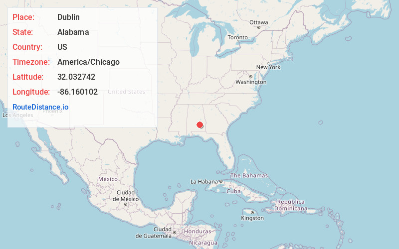
Static map view of Dublin, Alabama
Browse Places by Distance
Places within specific distances from Dublin
Short Distances
Long Distances
Click any distance to see all places within that range from Dublin. Distances shown in miles (1 mile ≈ 1.61 kilometers).