Distance to Duck Creek, South Dakota

Calculating Your Route
Just a moment while we process your request...
Location Information
-
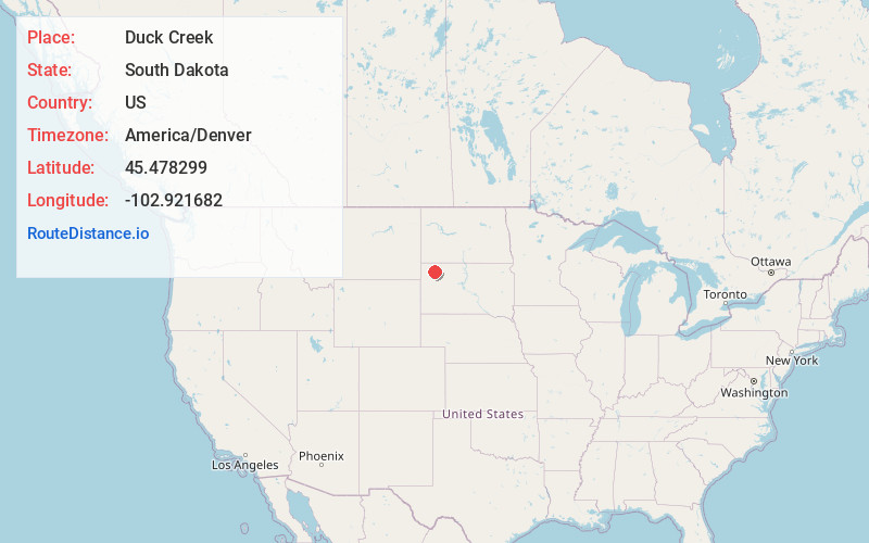
Full AddressDuck Creek, South Dakota 57649
-
Coordinates45.4782985, -102.9216822
-
LocationSouth Dakota , US
-
TimezoneAmerica/Denver
-
Current Local Time1:51:31 AM America/DenverMonday, June 23, 2025
-
Page Views0
Nearby Places
Found 10 places within 50 miles

Strool
5.9 mi
9.5 km
Strool, SD 57649
Get directions
Prairie City
6.5 mi
10.5 km
Prairie City, SD 57649
Get directions

Reva
9.1 mi
14.6 km
Reva, SD 57651
Get directions
Date
14.0 mi
22.5 km
Date, SD 57649
Get directions
Zeona
19.7 mi
31.7 km
Zeona, SD 57758
Get directions
Ralph
21.8 mi
35.1 km
Ralph, SD 57649
Get directions
Bison
22.3 mi
35.9 km
Bison, SD 57620
Get directions
Imogene
25.4 mi
40.9 km
Imogene, SD 57626
Get directions
Lodgepole Creek
26.1 mi
42.0 km
Lodgepole Creek, Lodgepole Township, SD 57640
Get directions
Bixby
28.7 mi
46.2 km
Bixby, SD 57626
Get directions
Location Links
Local Weather
Weather Information
Coming soon!
Location Map
Static map view of Duck Creek, South Dakota
Browse Places by Distance
Places within specific distances from Duck Creek
Short Distances
Long Distances
Click any distance to see all places within that range from Duck Creek. Distances shown in miles (1 mile ≈ 1.61 kilometers).