Distance to Duelm, Minnesota

Calculating Your Route
Just a moment while we process your request...
Location Information
-
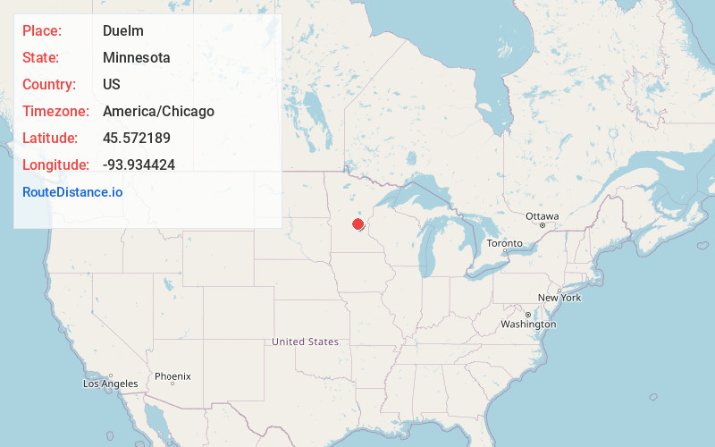
Full AddressDuelm, MN 56329
-
Coordinates45.5721885, -93.9344244
-
LocationDuelm , Minnesota , US
-
TimezoneAmerica/Chicago
-
Current Local Time8:31:24 PM America/ChicagoFriday, May 23, 2025
-
Page Views0
About Duelm
Duelm is an unincorporated community in St. George Township, Benton County, Minnesota, United States, near Foley. The community is located along Duelm Road near 110th Avenue. Stoney Brook flows through the community.
State Highways 25 and 95 are also in the immediate area.
Nearby Places
Found 10 places within 50 miles

Briggs Lake
4.4 mi
7.1 km
Briggs Lake, MN 55319
Get directions

Parent
4.9 mi
7.9 km
Parent, MN 56379
Get directions
Santiago
6.0 mi
9.7 km
Santiago, MN
Get directions

Foley
6.5 mi
10.5 km
Foley, MN 56329
Get directions

Cable
8.0 mi
12.9 km
Cable, MN 56304
Get directions

Ronneby
8.3 mi
13.4 km
Ronneby, MN
Get directions

Clear Lake
9.2 mi
14.8 km
Clear Lake, MN 55319
Get directions

Estes Brook
10.9 mi
17.5 km
Estes Brook, MN 56353
Get directions

St Cloud
11.1 mi
17.9 km
St Cloud, MN
Get directions

Sauk Rapids
11.3 mi
18.2 km
Sauk Rapids, MN
Get directions
Location Links
Local Weather
Weather Information
Coming soon!
Location Map
Static map view of Duelm, Minnesota
Browse Places by Distance
Places within specific distances from Duelm
Short Distances
Long Distances
Click any distance to see all places within that range from Duelm. Distances shown in miles (1 mile ≈ 1.61 kilometers).