Distance to Duke, Oklahoma

Calculating Your Route
Just a moment while we process your request...
Location Information
-
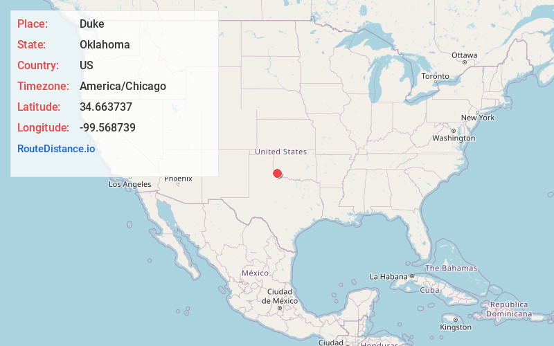
Full AddressDuke, OK 73532
-
Coordinates34.6637369, -99.5687388
-
LocationDuke , Oklahoma , US
-
TimezoneAmerica/Chicago
-
Current Local Time8:43:10 AM America/ChicagoWednesday, June 18, 2025
-
Page Views0
About Duke
East Duke, now known as Duke, is a town in Jackson County, Oklahoma, United States. The population was 394 as of the 2020 United States census. It is located about 14 miles west of the county seat of Altus, and is located at the intersection of US Route 62 and Oklahoma State Highway 34.


Nearby Places
Found 10 places within 50 miles

Olustee
11.5 mi
18.5 km
Olustee, OK
Get directions

Altus
13.5 mi
21.7 km
Altus, OK
Get directions

Eldorado
14.0 mi
22.5 km
Eldorado, OK 73537
Get directions

Mangum
14.8 mi
23.8 km
Mangum, OK 73554
Get directions

Blair
15.5 mi
24.9 km
Blair, OK 73526
Get directions

Hollis
19.6 mi
31.5 km
Hollis, OK 73550
Get directions

Granite
23.2 mi
37.3 km
Granite, OK 73547
Get directions

Tipton
26.8 mi
43.1 km
Tipton, OK
Get directions

Quanah
27.1 mi
43.6 km
Quanah, TX 79252
Get directions

Chillicothe
28.3 mi
45.5 km
Chillicothe, TX 79225
Get directions
Location Links
Local Weather
Weather Information
Coming soon!
Location Map
Static map view of Duke, Oklahoma
Browse Places by Distance
Places within specific distances from Duke
Short Distances
Long Distances
Click any distance to see all places within that range from Duke. Distances shown in miles (1 mile ≈ 1.61 kilometers).