Distance to Duluth, Kansas

Calculating Your Route
Just a moment while we process your request...
Location Information
-
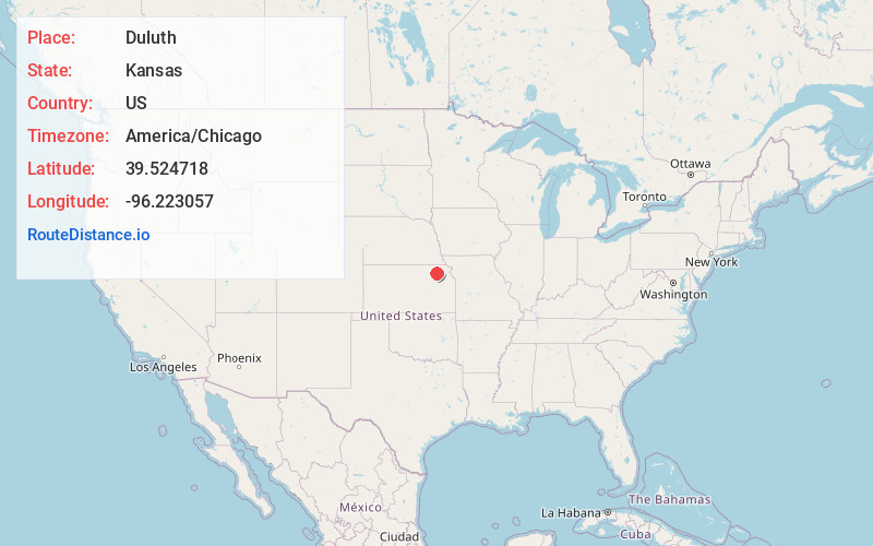
Full AddressDuluth, KS 66521
-
Coordinates39.5247184, -96.2230566
-
LocationDuluth , Kansas , US
-
TimezoneAmerica/Chicago
-
Current Local Time3:44:29 PM America/ChicagoTuesday, June 3, 2025
-
Page Views0
About Duluth
Duluth is an unincorporated community in Pottawatomie County, Kansas, United States.
Nearby Places
Found 10 places within 50 miles

Onaga
3.8 mi
6.1 km
Onaga, KS 66521
Get directions
Wheaton
5.4 mi
8.7 km
Wheaton, KS
Get directions
Beckerville
6.7 mi
10.8 km
Beckerville, Neuchatel Township, KS 66415
Get directions
Havensville
7.8 mi
12.6 km
Havensville, KS 66432
Get directions

Blaine
9.8 mi
15.8 km
Blaine, KS 66549
Get directions

Westmoreland
13.6 mi
21.9 km
Westmoreland, KS 66549
Get directions
Vermillion
13.6 mi
21.9 km
Vermillion, KS 66544
Get directions
Corning
13.8 mi
22.2 km
Corning, KS 66417
Get directions
Soldier
13.8 mi
22.2 km
Soldier, KS 66540
Get directions
Centralia
14.8 mi
23.8 km
Centralia, KS 66415
Get directions
Location Links
Local Weather
Weather Information
Coming soon!
Location Map
Static map view of Duluth, Kansas
Browse Places by Distance
Places within specific distances from Duluth
Short Distances
Long Distances
Click any distance to see all places within that range from Duluth. Distances shown in miles (1 mile ≈ 1.61 kilometers).