Distance to Centralia, Kansas

Calculating Your Route
Just a moment while we process your request...
Location Information
-
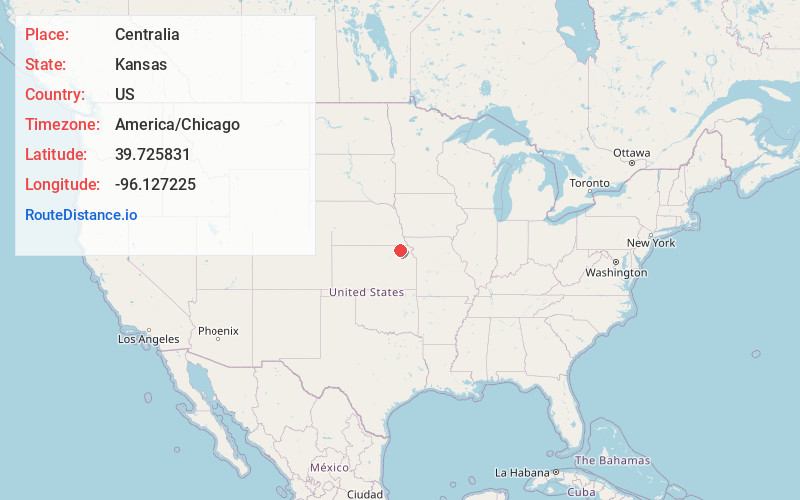
Full AddressCentralia, KS 66415
-
Coordinates39.725831, -96.1272246
-
LocationCentralia , Kansas , US
-
TimezoneAmerica/Chicago
-
Current Local Time12:06:54 AM America/ChicagoThursday, June 19, 2025
-
Page Views0
About Centralia
Centralia is a city in Nemaha County, Kansas, United States. As of the 2020 census, the population of the city was 485.
Nearby Places
Found 10 places within 50 miles

Seneca
8.2 mi
13.2 km
Seneca, KS 66538
Get directions

Axtell
12.3 mi
19.8 km
Axtell, KS 66403
Get directions

Frankfort
15.5 mi
24.9 km
Frankfort, KS 66427
Get directions

Onaga
16.5 mi
26.6 km
Onaga, KS 66521
Get directions
Sabetha
21.2 mi
34.1 km
Sabetha, KS 66534
Get directions
Pawnee City
26.8 mi
43.1 km
Pawnee City, NE 68420
Get directions

Westmoreland
27.5 mi
44.3 km
Westmoreland, KS 66549
Get directions
Blue Rapids
28.5 mi
45.9 km
Blue Rapids, KS 66411
Get directions

Marysville
28.7 mi
46.2 km
Marysville, KS 66508
Get directions

Humboldt
31.8 mi
51.2 km
Humboldt, NE 68376
Get directions
Location Links
Local Weather
Weather Information
Coming soon!
Location Map
Static map view of Centralia, Kansas
Browse Places by Distance
Places within specific distances from Centralia
Short Distances
Long Distances
Click any distance to see all places within that range from Centralia. Distances shown in miles (1 mile ≈ 1.61 kilometers).