Distance to Humboldt, Nebraska

Calculating Your Route
Just a moment while we process your request...
Location Information
-
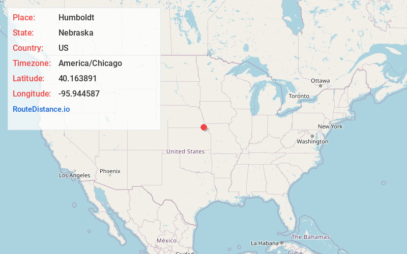
Full AddressHumboldt, NE 68376
-
Coordinates40.163891, -95.9445866
-
LocationHumboldt , Nebraska , US
-
TimezoneAmerica/Chicago
-
Current Local Time12:48:04 PM America/ChicagoWednesday, June 18, 2025
-
Page Views0
About Humboldt
Humboldt is a city in Richardson County, Nebraska, United States. The population was 800 at the 2020 census.


Nearby Places
Found 10 places within 50 miles

Pawnee City
11.8 mi
19.0 km
Pawnee City, NE 68420
Get directions

Auburn
17.0 mi
27.4 km
Auburn, NE 68305
Get directions

Tecumseh
19.3 mi
31.1 km
Tecumseh, NE 68450
Get directions

Falls City
19.5 mi
31.4 km
Falls City, NE 68355
Get directions
Sabetha
19.6 mi
31.5 km
Sabetha, KS 66534
Get directions

Seneca
23.6 mi
38.0 km
Seneca, KS 66538
Get directions

Rock Port
28.3 mi
45.5 km
Rock Port, MO 64482
Get directions
Hiawatha
30.5 mi
49.1 km
Hiawatha, KS 66434
Get directions

Hamburg
34.0 mi
54.7 km
Hamburg, IA 51640
Get directions

Tarkio
35.5 mi
57.1 km
Tarkio, MO 64491
Get directions
Location Links
Local Weather
Weather Information
Coming soon!
Location Map
Static map view of Humboldt, Nebraska
Browse Places by Distance
Places within specific distances from Humboldt
Short Distances
Long Distances
Click any distance to see all places within that range from Humboldt. Distances shown in miles (1 mile ≈ 1.61 kilometers).