Distance to Hamburg, Iowa

Calculating Your Route
Just a moment while we process your request...
Location Information
-
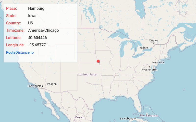
Full AddressHamburg, IA 51640
-
Coordinates40.6044458, -95.6577711
-
LocationHamburg , Iowa , US
-
TimezoneAmerica/Chicago
-
Current Local Time4:09:33 PM America/ChicagoSaturday, May 31, 2025
-
Page Views0
About Hamburg
Hamburg is a city in Fremont County, Iowa, United States, that is the most southwestern city in Iowa, hugging the borders of Missouri to the south and Nebraska to the west. It is situated between the Nishnabotna and Missouri rivers. The population was 890 at the time of the 2020 census.


Nearby Places
Found 10 places within 50 miles

Nebraska City
11.7 mi
18.8 km
Nebraska City, NE 68410
Get directions

Rock Port
15.3 mi
24.6 km
Rock Port, MO 64482
Get directions

Auburn
17.1 mi
27.5 km
Auburn, NE 68305
Get directions

Shenandoah
18.5 mi
29.8 km
Shenandoah, IA 51601
Get directions

Tarkio
18.6 mi
29.9 km
Tarkio, MO 64491
Get directions

Syracuse
27.8 mi
44.7 km
Syracuse, NE 68446
Get directions

Malvern
28.0 mi
45.1 km
Malvern, IA 51551
Get directions

Plattsmouth
30.4 mi
48.9 km
Plattsmouth, NE 68048
Get directions

Glenwood
30.9 mi
49.7 km
Glenwood, IA 51534
Get directions

Weeping Water
31.2 mi
50.2 km
Weeping Water, NE 68463
Get directions
Location Links
Local Weather
Weather Information
Coming soon!
Location Map
Static map view of Hamburg, Iowa
Browse Places by Distance
Places within specific distances from Hamburg
Short Distances
Long Distances
Click any distance to see all places within that range from Hamburg. Distances shown in miles (1 mile ≈ 1.61 kilometers).