Distance to Dundaff, Pennsylvania

Calculating Your Route
Just a moment while we process your request...
Location Information
-
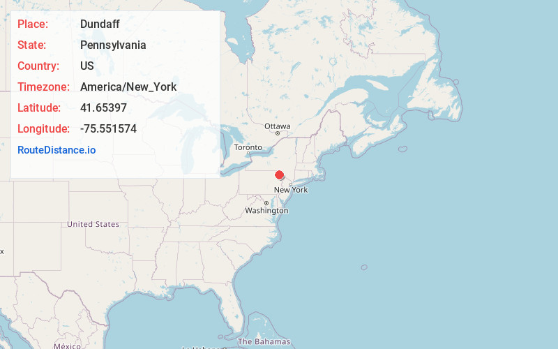
Full AddressDundaff, Clifford Township, PA 18421
-
Coordinates41.6539704, -75.5515744
-
LocationClifford Township , Pennsylvania , US
-
TimezoneAmerica/New_York
-
Current Local Time10:56:56 AM America/New_YorkMonday, June 23, 2025
-
Page Views0
Nearby Places
Found 10 places within 50 miles

Clifford Township
2.2 mi
3.5 km
Clifford Township, PA
Get directions

Fall Brook
2.9 mi
4.7 km
Fall Brook, Pennsylvania
Get directions
Greenfield Township
3.5 mi
5.6 km
Greenfield Township, PA
Get directions
Vandling
4.4 mi
7.1 km
Vandling, PA
Get directions

Forest City
4.4 mi
7.1 km
Forest City, PA 18421
Get directions
Lenoxville
4.5 mi
7.2 km
Lenoxville, PA 18441
Get directions

Union Dale
5.3 mi
8.5 km
Union Dale, PA 18470
Get directions
Simpson
5.5 mi
8.9 km
Simpson, PA 18407
Get directions

Carbondale
6.1 mi
9.8 km
Carbondale, PA 18407
Get directions
Marshbrook
6.6 mi
10.6 km
Marshbrook, Benton Township, PA 18446
Get directions
Location Links
Local Weather
Weather Information
Coming soon!
Location Map
Static map view of Dundaff, Pennsylvania
Browse Places by Distance
Places within specific distances from Dundaff
Short Distances
Long Distances
Click any distance to see all places within that range from Dundaff. Distances shown in miles (1 mile ≈ 1.61 kilometers).