Distance to Dunton, Colorado

Calculating Your Route
Just a moment while we process your request...
Location Information
-
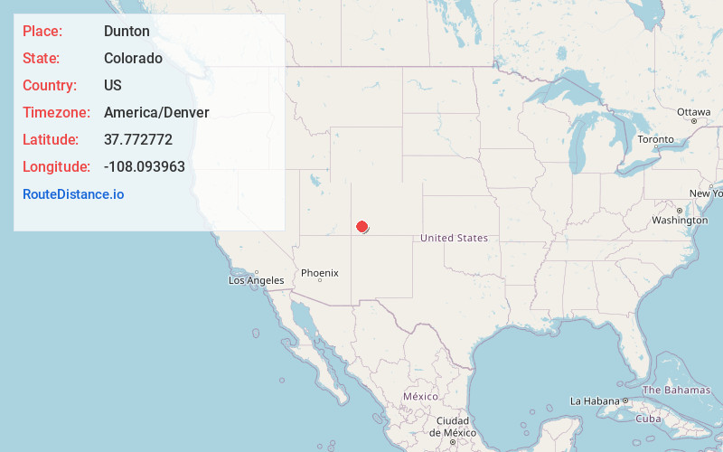
Full AddressDunton, CO 81323
-
Coordinates37.7727718, -108.0939632
-
LocationDunton , Colorado , US
-
TimezoneAmerica/Denver
-
Current Local Time4:44:16 PM America/DenverFriday, June 20, 2025
-
Page Views0
About Dunton
Dunton Hot Springs, also known as Dunton, Colorado, is a grouping of log buildings that sits at 8,600 feet on the West Fork of the Dolores River in the San Juan Mountains in the southwestern corner of Colorado. Dunton is 35 miles northeast of Cortez, Colorado, and 25 miles southwest of Telluride.
Nearby Places
Found 10 places within 50 miles

Rico
6.5 mi
10.5 km
Rico, CO 81332
Get directions

Ophir Loop
13.7 mi
22.0 km
Ophir Loop, CO 81426
Get directions

Ophir
15.4 mi
24.8 km
Ophir, CO 81426
Get directions

Lime
15.4 mi
24.8 km
Lime, CO 81435
Get directions

Sawpit
16.2 mi
26.1 km
Sawpit, CO
Get directions

Mountain Village
17.0 mi
27.4 km
Mountain Village, CO 81435
Get directions

Placerville
17.0 mi
27.4 km
Placerville, CO 81430
Get directions

Telluride
19.1 mi
30.7 km
Telluride, CO
Get directions

Red Mountain Pass
22.6 mi
36.4 km
Red Mountain Pass, Colorado 81432
Get directions

Silverton
23.6 mi
38.0 km
Silverton, CO 81433
Get directions
Location Links
Local Weather
Weather Information
Coming soon!
Location Map
Static map view of Dunton, Colorado
Browse Places by Distance
Places within specific distances from Dunton
Short Distances
Long Distances
Click any distance to see all places within that range from Dunton. Distances shown in miles (1 mile ≈ 1.61 kilometers).