Distance to and from Dupont, Colorado
Dupont, CO 80022
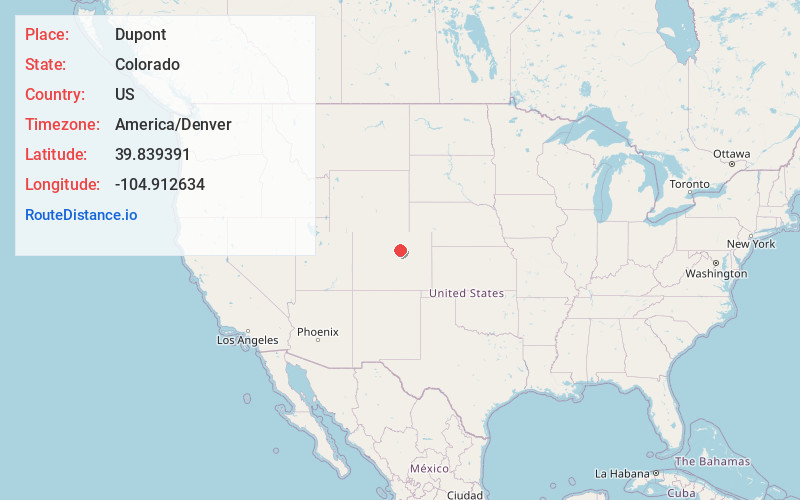
DuPont
Colorado
US
America/Denver
Location Information
-
Full AddressDupont, CO 80022
-
Coordinates39.8393905, -104.912634
-
NeighborhoodDupont
-
LocationDuPont , Colorado , US
-
TimezoneAmerica/Denver
-
Current Local Time7:23:37 PM America/DenverTuesday, May 6, 2025
-
Page Views0
Directions to Nearest Cities
About Dupont
Dupont is an unincorporated community and U.S. Post Office in Adams County, Colorado, United States. The Dupont Post Office has the ZIP Code 80024.
A post office called Dupont has been in operation since 1926. The community takes its name from the DuPont Company, which owned property near the original town site.
Nearby Places
Found 10 places within 50 miles

Derby
0.5 mi
0.8 km
Derby, CO 80022
Get directions

Rolla
2.3 mi
3.7 km
Rolla, Commerce City, CO 80640
Get directions

Commerce City
2.4 mi
3.9 km
Commerce City, CO
Get directions

Welby
2.5 mi
4.0 km
Welby, CO
Get directions

Hazeltine Heights
3.4 mi
5.5 km
Hazeltine Heights, Commerce City, CO 80640
Get directions

Thornton
3.7 mi
6.0 km
Thornton, CO
Get directions

North Washington
4.2 mi
6.8 km
North Washington, CO
Get directions
Sherrelwood
4.7 mi
7.6 km
Sherrelwood, CO
Get directions

Northglenn
5.3 mi
8.5 km
Northglenn, CO
Get directions

Federal Heights
5.7 mi
9.2 km
Federal Heights, CO
Get directions
Derby
0.5 mi
0.8 km
Derby, CO 80022
Rolla
2.3 mi
3.7 km
Rolla, Commerce City, CO 80640
Commerce City
2.4 mi
3.9 km
Commerce City, CO
Welby
2.5 mi
4.0 km
Welby, CO
Hazeltine Heights
3.4 mi
5.5 km
Hazeltine Heights, Commerce City, CO 80640
Thornton
3.7 mi
6.0 km
Thornton, CO
North Washington
4.2 mi
6.8 km
North Washington, CO
Sherrelwood
4.7 mi
7.6 km
Sherrelwood, CO
Northglenn
5.3 mi
8.5 km
Northglenn, CO
Federal Heights
5.7 mi
9.2 km
Federal Heights, CO
Location Links
Local Weather
Weather Information
Coming soon!
Location Map
Static map view of Dupont, Colorado
Browse Places by Distance
Places within specific distances from Dupont
Short Distances
Long Distances
Click any distance to see all places within that range from Dupont. Distances shown in miles (1 mile ≈ 1.61 kilometers).