Distance to Dupont, Ohio

Calculating Your Route
Just a moment while we process your request...
Location Information
-
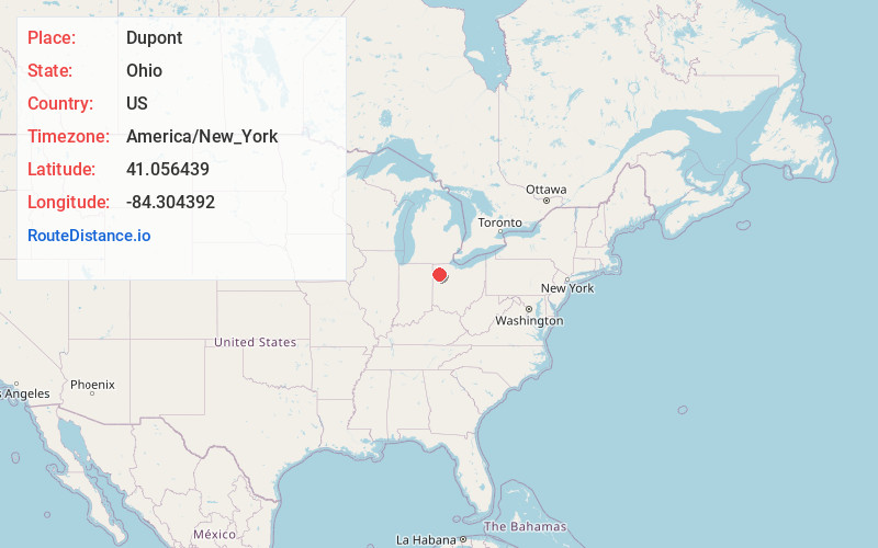
Full AddressDupont, OH
-
Coordinates41.0564388, -84.3043915
-
LocationDuPont , Ohio , US
-
TimezoneAmerica/New_York
-
Current Local Time8:17:43 AM America/New_YorkFriday, June 20, 2025
-
Page Views0
About Dupont
Dupont is a village in Putnam County, Ohio, United States. The population was 212 at the 2020 census.
Nearby Places
Found 10 places within 50 miles

Continental
3.6 mi
5.8 km
Continental, OH 45831
Get directions
Melrose
6.5 mi
10.5 km
Melrose, OH
Get directions
Kalida
7.5 mi
12.1 km
Kalida, OH
Get directions

Ottoville
8.8 mi
14.2 km
Ottoville, OH 45844
Get directions
Grover Hill
9.3 mi
15.0 km
Grover Hill, OH
Get directions
Fort Jennings
10.4 mi
16.7 km
Fort Jennings, OH 45844
Get directions

Glandorf
11.9 mi
19.2 km
Glandorf, OH
Get directions

Ottawa
13.7 mi
22.0 km
Ottawa, OH 45875
Get directions

Delphos
14.8 mi
23.8 km
Delphos, OH 45833
Get directions

Paulding
15.4 mi
24.8 km
Paulding, OH 45879
Get directions
Location Links
Local Weather
Weather Information
Coming soon!
Location Map
Static map view of Dupont, Ohio
Browse Places by Distance
Places within specific distances from Dupont
Short Distances
Long Distances
Click any distance to see all places within that range from Dupont. Distances shown in miles (1 mile ≈ 1.61 kilometers).