Distance to Durand, Virginia

Calculating Your Route
Just a moment while we process your request...
Location Information
-
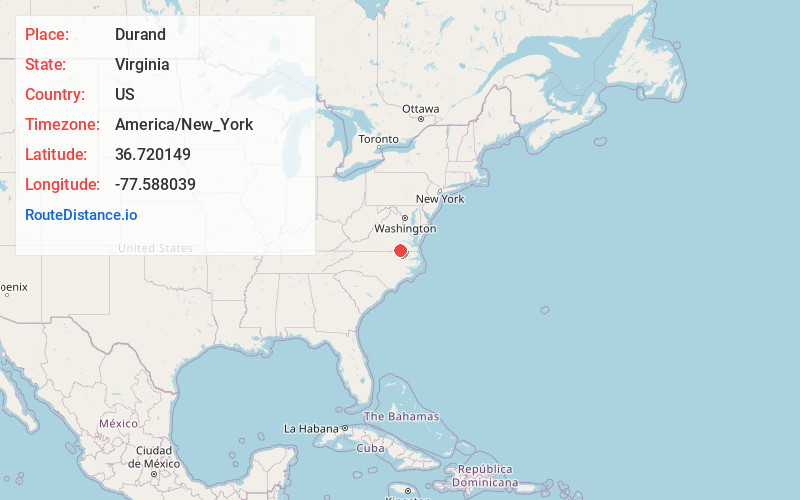
Full AddressDurand, VA 23847
-
Coordinates36.720149, -77.5880387
-
LocationDurand , Virginia , US
-
TimezoneAmerica/New_York
-
Current Local Time2:22:23 PM America/New_YorkThursday, June 5, 2025
-
Page Views0
About Durand
Durand is an unincorporated community in Greensville County, Virginia, United States. Durand is primarily a farming community along US 58, west of Emporia, and is the home of the Mecklenburg Electrical Cooperative, a local power company.
Nearby Places
Found 10 places within 50 miles

Emporia
3.5 mi
5.6 km
Emporia, VA 23847
Get directions

Green Plain
7.7 mi
12.4 km
Green Plain, VA 23847
Get directions
Mitchells Mill
8.7 mi
14.0 km
Mitchells Mill, VA 23879
Get directions
Jarratt
9.3 mi
15.0 km
Jarratt, VA 23867
Get directions
Claresville
10.2 mi
16.4 km
Claresville, VA 23847
Get directions
Fitzhugh
10.5 mi
16.9 km
Fitzhugh, VA 23868
Get directions
Barley
13.2 mi
21.2 km
Barley, VA 23847
Get directions
Pleasant Hill
13.3 mi
21.4 km
Pleasant Hill, NC 27866
Get directions

Lawrenceville
14.6 mi
23.5 km
Lawrenceville, VA 23868
Get directions
Stancell
14.8 mi
23.8 km
Stancell, NC 27832
Get directions
Location Links
Local Weather
Weather Information
Coming soon!
Location Map
Static map view of Durand, Virginia
Browse Places by Distance
Places within specific distances from Durand
Short Distances
Long Distances
Click any distance to see all places within that range from Durand. Distances shown in miles (1 mile ≈ 1.61 kilometers).