Distance to Dutch Mills, Arkansas

Calculating Your Route
Just a moment while we process your request...
Location Information
-
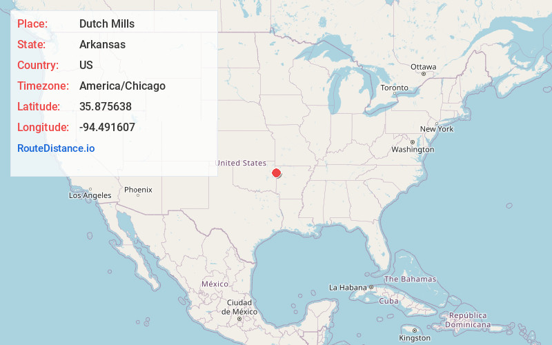
Full AddressDutch Mills, AR 72744
-
Coordinates35.875638, -94.4916065
-
LocationDutch Mills , Arkansas , US
-
TimezoneAmerica/Chicago
-
Current Local Time2:08:22 AM America/ChicagoThursday, June 19, 2025
-
Page Views0
About Dutch Mills
Dutch Mills is an unincorporated community in Dutch Mills Township, Washington County, Arkansas, United States. Dutch Mills is on a small tributary of the Baron Fork of the Illinois River on Arkansas Highway 59, approximately 6 miles south of U.S. Route 62 and 1 mile east of the Oklahoma border.
Nearby Places
Found 10 places within 50 miles

Morrow
3.3 mi
5.3 km
Morrow, AR
Get directions
Piney
3.8 mi
6.1 km
Piney, OK
Get directions
Tolu
4.2 mi
6.8 km
Tolu, AR 72729
Get directions

Evansville
5.5 mi
8.9 km
Evansville, AR 72729
Get directions

Canehill
5.8 mi
9.3 km
Canehill, AR
Get directions

Lincoln
6.3 mi
10.1 km
Lincoln, AR 72744
Get directions
Elm Grove
6.8 mi
10.9 km
Elm Grove, OK 74960
Get directions
Peavine
6.9 mi
11.1 km
Peavine, OK
Get directions
Fairfield
7.0 mi
11.3 km
Fairfield, OK 74960
Get directions

Summers
7.1 mi
11.4 km
Summers, AR
Get directions
Location Links
Local Weather
Weather Information
Coming soon!
Location Map
Static map view of Dutch Mills, Arkansas
Browse Places by Distance
Places within specific distances from Dutch Mills
Short Distances
Long Distances
Click any distance to see all places within that range from Dutch Mills. Distances shown in miles (1 mile ≈ 1.61 kilometers).