Distance to Tolu, Arkansas

Calculating Your Route
Just a moment while we process your request...
Location Information
-
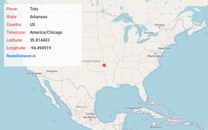
Full AddressTolu, AR 72729
-
Coordinates35.8144034, -94.4949194
-
LocationTolu , Arkansas , US
-
TimezoneAmerica/Chicago
-
Current Local Time5:57:45 PM America/ChicagoFriday, June 20, 2025
-
Page Views0
About Tolu
Tolu is an unincorporated community in Vineyard Township in western Washington County, Arkansas, United States. It is located at the intersection of Highway 59 and Bellamy Road about one half mile from the Arkansas - Oklahoma border.
Nearby Places
Found 10 places within 50 miles

Evansville
1.3 mi
2.1 km
Evansville, AR 72729
Get directions

Elm Grove
3.9 mi
6.3 km
Elm Grove, OK 74960
Get directions
Morrow
4.4 mi
7.1 km
Morrow, AR
Get directions
Piney
6.2 mi
10.0 km
Piney, OK
Get directions
Fairfield
7.0 mi
11.3 km
Fairfield, OK 74960
Get directions
Honey Hill Branch
7.3 mi
11.7 km
Honey Hill Branch, Bell, OK 74960
Get directions

Stilwell
7.5 mi
12.1 km
Stilwell, OK 74960
Get directions
Floss
7.6 mi
12.2 km
Floss, AR 72753
Get directions

Bell
8.1 mi
13.0 km
Bell, OK 74960
Get directions
Zion
8.4 mi
13.5 km
Zion, OK 74960
Get directions
Location Links
Local Weather
Weather Information
Coming soon!
Location Map
Static map view of Tolu, Arkansas
Browse Places by Distance
Places within specific distances from Tolu
Short Distances
Long Distances
Click any distance to see all places within that range from Tolu. Distances shown in miles (1 mile ≈ 1.61 kilometers).