Distance to Dutzow, Missouri

Calculating Your Route
Just a moment while we process your request...
Location Information
-
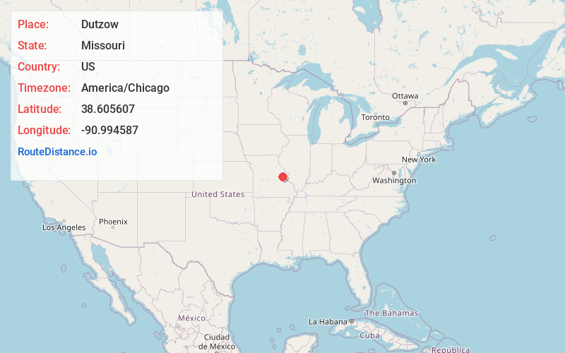
Full AddressDutzow, MO 63357
-
Coordinates38.605607, -90.9945866
-
LocationDutzow , Missouri , US
-
TimezoneAmerica/Chicago
-
Current Local Time12:47:41 PM America/ChicagoTuesday, July 1, 2025
-
Page Views0
About Dutzow
Dutzow is an unincorporated community in southeastern Warren County, Missouri, United States. It is located on Route 94, approximately three miles north of Washington. Located near the Missouri River, it is one of the oldest German communities in the state.
Nearby Places
Found 10 places within 50 miles

Three Creeks
2.4 mi
3.9 km
Three Creeks, MO
Get directions

Washington
3.4 mi
5.5 km
Washington, MO
Get directions

Marthasville
3.8 mi
6.1 km
Marthasville, MO 63357
Get directions

Augusta
6.5 mi
10.5 km
Augusta, MO 63332
Get directions
Peers
7.1 mi
11.4 km
Peers, Charrette Township, MO 63357
Get directions
Dundee
7.2 mi
11.6 km
Dundee, Boeuf Township, MO 63090
Get directions
Klondike
8.4 mi
13.5 km
Klondike, Boone Township, MO 63332
Get directions
New Melle
9.5 mi
15.3 km
New Melle, MO
Get directions

Union
10.8 mi
17.4 km
Union, MO 63084
Get directions

Treloar
10.8 mi
17.4 km
Treloar, MO 63357
Get directions
Location Links
Local Weather
Weather Information
Coming soon!
Location Map
Static map view of Dutzow, Missouri
Browse Places by Distance
Places within specific distances from Dutzow
Short Distances
Long Distances
Click any distance to see all places within that range from Dutzow. Distances shown in miles (1 mile ≈ 1.61 kilometers).