Distance to Eagle Bend, Mississippi

Calculating Your Route
Just a moment while we process your request...
Location Information
-
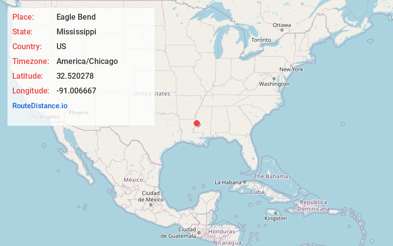
Full AddressEagle Bend, MS 39183
-
Coordinates32.520278, -91.0066669
-
LocationEagle Bend , Mississippi , US
-
TimezoneAmerica/Chicago
-
Current Local Time9:29:44 PM America/ChicagoWednesday, June 18, 2025
-
Page Views0
About Eagle Bend
Eagle Bend is a census-designated place and unincorporated community in Warren County, Mississippi. It is approximately 31 miles northwest of downtown Vicksburg, and is part of the Vicksburg Micropolitan Statistical Area.
Eagle Bend began as a postal hamlet located directly on the Mississippi River.
Nearby Places
Found 10 places within 50 miles

Tallulah
13.0 mi
20.9 km
Tallulah, LA 71282
Get directions

Richmond
13.7 mi
22.0 km
Richmond, LA 71282
Get directions

Vicksburg
13.8 mi
22.2 km
Vicksburg, MS
Get directions
Beechwood
16.9 mi
27.2 km
Beechwood, MS 39180
Get directions

Bovina
19.7 mi
31.7 km
Bovina, MS
Get directions

Cary
20.3 mi
32.7 km
Cary, MS
Get directions

Lake Providence
21.8 mi
35.1 km
Lake Providence, LA 71254
Get directions
Mayersville
26.5 mi
42.6 km
Mayersville, MS 39113
Get directions

Edwards
26.8 mi
43.1 km
Edwards, MS 39066
Get directions

Rolling Fork
27.7 mi
44.6 km
Rolling Fork, MS 39159
Get directions
Location Links
Local Weather
Weather Information
Coming soon!
Location Map
Static map view of Eagle Bend, Mississippi
Browse Places by Distance
Places within specific distances from Eagle Bend
Short Distances
Long Distances
Click any distance to see all places within that range from Eagle Bend. Distances shown in miles (1 mile ≈ 1.61 kilometers).