Distance to Eagle Bend, Minnesota

Calculating Your Route
Just a moment while we process your request...
Location Information
-
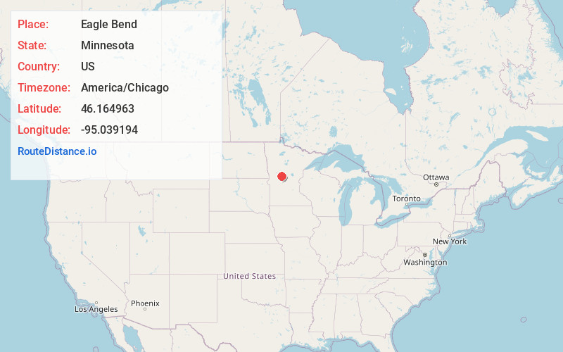
Full AddressEagle Bend, MN 56446
-
Coordinates46.1649632, -95.0391936
-
LocationEagle Bend , Minnesota , US
-
TimezoneAmerica/Chicago
-
Current Local Time5:41:58 AM America/ChicagoThursday, June 19, 2025
-
Page Views0
About Eagle Bend
Eagle Bend is a city in Todd County, Minnesota, United States. The population was 535 at the 2010 census. By the 2020 Census the population had increased slightly to 546.
Nearby Places
Found 10 places within 50 miles

Clarissa
5.0 mi
8.0 km
Clarissa, MN 56440
Get directions
Browerville
9.9 mi
15.9 km
Browerville, MN 56438
Get directions

Parkers Prairie
13.7 mi
22.0 km
Parkers Prairie, MN 56361
Get directions

Long Prairie
15.6 mi
25.1 km
Long Prairie, MN 56347
Get directions

Staples
17.6 mi
28.3 km
Staples, MN 56479
Get directions

Wadena
19.7 mi
31.7 km
Wadena, MN 56482
Get directions

Osakis
21.3 mi
34.3 km
Osakis, MN 56360
Get directions

Henning
22.2 mi
35.7 km
Henning, MN 56551
Get directions

Alexandria
25.3 mi
40.7 km
Alexandria, MN 56308
Get directions

New York Mills
29.2 mi
47.0 km
New York Mills, MN 56567
Get directions
Location Links
Local Weather
Weather Information
Coming soon!
Location Map
Static map view of Eagle Bend, Minnesota
Browse Places by Distance
Places within specific distances from Eagle Bend
Short Distances
Long Distances
Click any distance to see all places within that range from Eagle Bend. Distances shown in miles (1 mile ≈ 1.61 kilometers).