Distance to Eagle Rock, Missouri

Calculating Your Route
Just a moment while we process your request...
Location Information
-
Full AddressEagle Rock, MO 65641
-
Coordinates36.5468539, -93.7556316
-
LocationEagle Rock , Missouri , US
-
TimezoneAmerica/Chicago
-
Current Local Time4:24:26 AM America/ChicagoWednesday, June 18, 2025
-
Page Views0
About Eagle Rock
Eagle Rock is an unincorporated community and census-designated place in Barry County, Missouri, United States. As of the 2020 census, it had a population of 193.
It is located on Missouri Route 86 near Table Rock Lake. Eagle Rock has a state campground and public marina.


Nearby Places
Found 10 places within 50 miles
Chain-O-Lakes
1.9 mi
3.1 km
Chain-O-Lakes, MO 65641
Get directions

Holiday Island
4.4 mi
7.1 km
Holiday Island, AR 72631
Get directions

Beaver
5.0 mi
8.0 km
Beaver, AR 72631
Get directions

Emerald Beach
5.1 mi
8.2 km
Emerald Beach, MO 65658
Get directions

Golden
5.9 mi
9.5 km
Golden, MO 65658
Get directions

Arrow Point
7.6 mi
12.2 km
Arrow Point, MO
Get directions

Shell Knob
8.8 mi
14.2 km
Shell Knob, MO
Get directions

Seligman
10.1 mi
16.3 km
Seligman, MO 65745
Get directions

Eureka Springs
10.1 mi
16.3 km
Eureka Springs, AR
Get directions
Gateway
10.5 mi
16.9 km
Gateway, AR
Get directions
Location Links
Local Weather
Weather Information
Coming soon!
Location Map
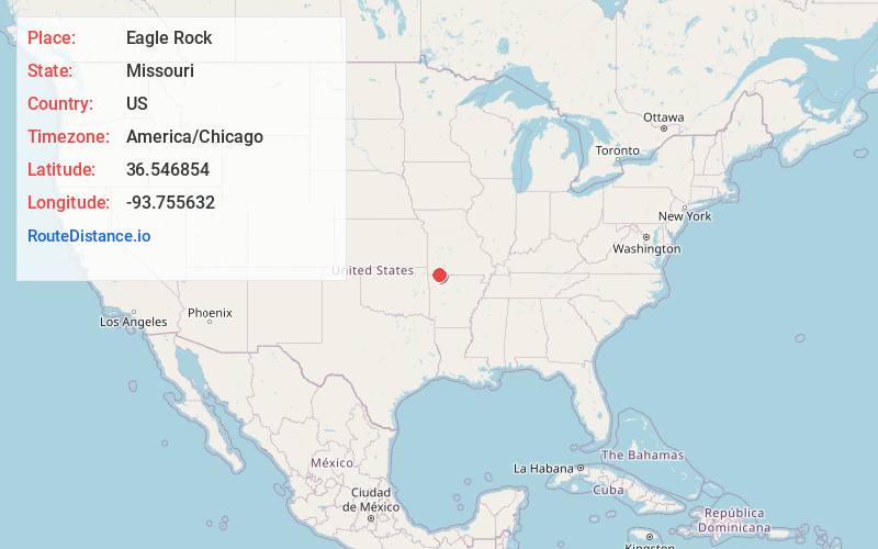
Static map view of Eagle Rock, Missouri
Browse Places by Distance
Places within specific distances from Eagle Rock
Short Distances
Long Distances
Click any distance to see all places within that range from Eagle Rock. Distances shown in miles (1 mile ≈ 1.61 kilometers).