Distance to East Calais, Vermont

Calculating Your Route
Just a moment while we process your request...
Location Information
-
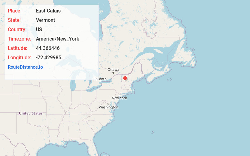
Full AddressEast Calais, Calais, VT
-
Coordinates44.366446, -72.4299853
-
NeighborhoodEast Calais
-
LocationCalais , Vermont , US
-
TimezoneAmerica/New_York
-
Current Local Time9:03:06 AM America/New_YorkThursday, June 5, 2025
-
Page Views0
About East Calais
East Calais is an unincorporated village in the town of Calais, Washington County, Vermont, United States. The community is located along Vermont Route 14, 10.3 miles northeast of Montpelier. East Calais has a post office with ZIP code 05650, which opened on April 12, 1830.
Nearby Places
Found 10 places within 50 miles

Calais
1.9 mi
3.1 km
Calais, VT
Get directions

Marshfield
3.9 mi
6.3 km
Marshfield, VT
Get directions

Woodbury
5.2 mi
8.4 km
Woodbury, VT
Get directions

Worcester
5.9 mi
9.5 km
Worcester, VT 05682
Get directions

Plainfield
6.1 mi
9.8 km
Plainfield, VT
Get directions

Cabot
6.3 mi
10.1 km
Cabot, VT
Get directions

East Montpelier
7.2 mi
11.6 km
East Montpelier, VT
Get directions

Montpelier
10.3 mi
16.6 km
Montpelier, VT 05602
Get directions

Walden
11.7 mi
18.8 km
Walden, VT
Get directions

Elmore
12.0 mi
19.3 km
Elmore, VT
Get directions
Location Links
Local Weather
Weather Information
Coming soon!
Location Map
Static map view of East Calais, Vermont
Browse Places by Distance
Places within specific distances from East Calais
Short Distances
Long Distances
Click any distance to see all places within that range from East Calais. Distances shown in miles (1 mile ≈ 1.61 kilometers).