Distance to Elmore, Vermont

Calculating Your Route
Just a moment while we process your request...
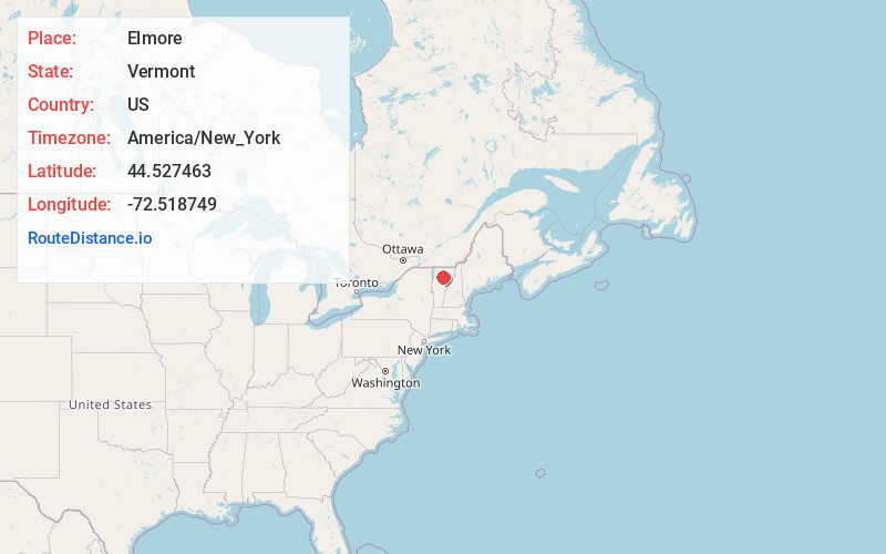
Location Information
-
Full AddressElmore, VT
-
Coordinates44.5274632, -72.5187486
-
LocationElmore , Vermont , US
-
TimezoneAmerica/New_York
-
Current Local Time1:38:18 AM America/New_YorkFriday, June 20, 2025
-
Page Views0
About Elmore
Elmore is a town in Lamoille County, Vermont, United States. It was granted by the Vermont Republic in 1780, and was named for Colonel Samuel Elmore, one of the original grantees. The population was 886 at the 2020 census.


Nearby Places
Found 10 places within 50 miles

Wolcott
3.2 mi
5.1 km
Wolcott, VT
Get directions

Morristown
5.6 mi
9.0 km
Morristown, VT
Get directions

Hyde Park
6.8 mi
10.9 km
Hyde Park, VT
Get directions

Hardwick
8.4 mi
13.5 km
Hardwick, VT
Get directions

Stowe
9.4 mi
15.1 km
Stowe, VT 05672
Get directions

Craftsbury
10.4 mi
16.7 km
Craftsbury, VT
Get directions

Calais
11.2 mi
18.0 km
Calais, VT
Get directions

Eden
12.5 mi
20.1 km
Eden, VT
Get directions

Cabot
13.4 mi
21.6 km
Cabot, VT
Get directions

Marshfield
14.7 mi
23.7 km
Marshfield, VT
Get directions
Location Links
Local Weather
Weather Information
Coming soon!
Location Map
Static map view of Elmore, Vermont
Browse Places by Distance
Places within specific distances from Elmore
Short Distances
Long Distances
Click any distance to see all places within that range from Elmore. Distances shown in miles (1 mile ≈ 1.61 kilometers).