Distance to Wolcott, Vermont

Calculating Your Route
Just a moment while we process your request...
Location Information
-
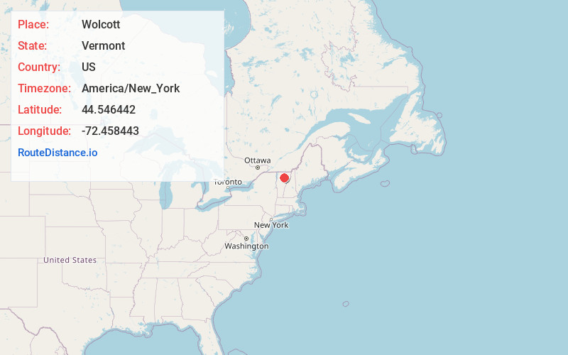
Full AddressWolcott, VT
-
Coordinates44.5464417, -72.4584429
-
LocationWolcott , Vermont , US
-
TimezoneAmerica/New_York
-
Current Local Time5:39:40 PM America/New_YorkTuesday, June 3, 2025
-
Page Views0
About Wolcott
Wolcott is a town in Lamoille County, Vermont, United States. The town was named for General Oliver Wolcott, a signer of the Declaration of Independence. The population was 1,670 at the 2020 census.


Nearby Places
Found 10 places within 50 miles

Hardwick
5.4 mi
8.7 km
Hardwick, VT
Get directions

Morristown
8.2 mi
13.2 km
Morristown, VT
Get directions

Hyde Park
8.5 mi
13.7 km
Hyde Park, VT
Get directions

Calais
12.2 mi
19.6 km
Calais, VT
Get directions

Cabot
12.3 mi
19.8 km
Cabot, VT
Get directions

Stowe
12.6 mi
20.3 km
Stowe, VT 05672
Get directions

Marshfield
14.5 mi
23.3 km
Marshfield, VT
Get directions

Danville
18.3 mi
29.5 km
Danville, VT
Get directions

East Montpelier
19.1 mi
30.7 km
East Montpelier, VT
Get directions

Barton
19.7 mi
31.7 km
Barton, VT
Get directions
Location Links
Local Weather
Weather Information
Coming soon!
Location Map
Static map view of Wolcott, Vermont
Browse Places by Distance
Places within specific distances from Wolcott
Short Distances
Long Distances
Click any distance to see all places within that range from Wolcott. Distances shown in miles (1 mile ≈ 1.61 kilometers).