Distance to East Hazel Crest, Illinois

Calculating Your Route
Just a moment while we process your request...
Location Information
-
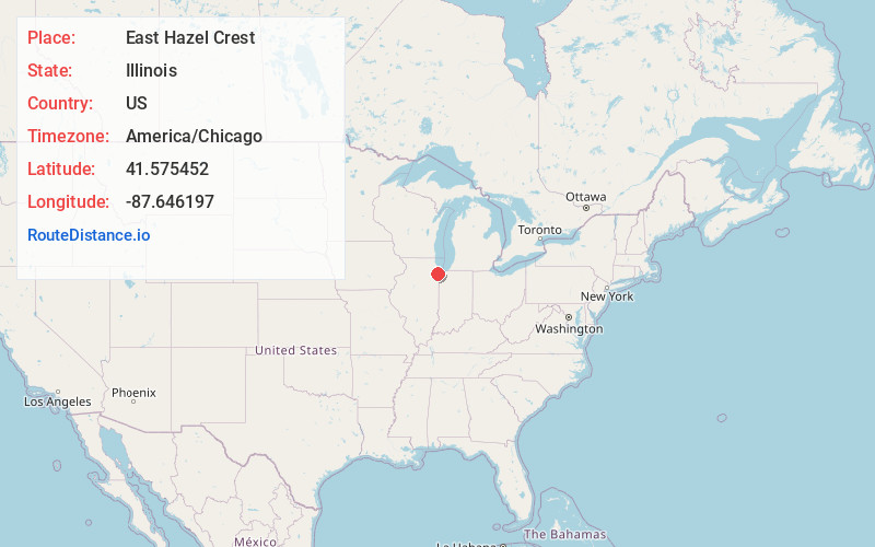
Full AddressEast Hazel Crest, IL
-
Coordinates41.5754519, -87.6461965
-
LocationEast Hazel Crest , Illinois , US
-
TimezoneAmerica/Chicago
-
Current Local Time7:36:40 AM America/ChicagoSaturday, June 7, 2025
-
Page Views0
About East Hazel Crest
East Hazel Crest is a village in Cook County, Illinois, United States. It is a south suburb of Chicago. As of the 2020 census, the village population was 1,297.
Nearby Places
Found 10 places within 50 miles

Homewood
0.7 mi
1.1 km
Homewood, IL 60430
Get directions

Thornton
2.0 mi
3.2 km
Thornton, IL
Get directions

Harvey
2.4 mi
3.9 km
Harvey, IL
Get directions

Hazel Crest
2.5 mi
4.0 km
Hazel Crest, IL
Get directions

South Holland
2.7 mi
4.3 km
South Holland, IL
Get directions

Markham
2.8 mi
4.5 km
Markham, IL
Get directions

Flossmoor
3.0 mi
4.8 km
Flossmoor, IL
Get directions

Glenwood
3.2 mi
5.1 km
Glenwood, IL
Get directions

Dixmoor
3.8 mi
6.1 km
Dixmoor, IL
Get directions

Riverdale
4.1 mi
6.6 km
Riverdale, IL
Get directions
Location Links
Local Weather
Weather Information
Coming soon!
Location Map
Static map view of East Hazel Crest, Illinois
Browse Places by Distance
Places within specific distances from East Hazel Crest
Short Distances
Long Distances
Click any distance to see all places within that range from East Hazel Crest. Distances shown in miles (1 mile ≈ 1.61 kilometers).