Distance to Edenton, Ohio

Calculating Your Route
Just a moment while we process your request...
Location Information
-
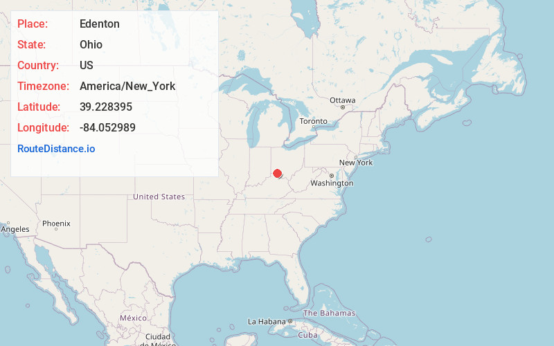
Full AddressEdenton, OH 45122
-
Coordinates39.2283949, -84.0529886
-
LocationEdenton , Ohio , US
-
TimezoneAmerica/New_York
-
Current Local Time7:09:07 AM America/New_YorkSunday, May 25, 2025
-
Page Views0
About Edenton
Edenton is a small unincorporated community in Wayne Township, Clermont County, Ohio. State Routes 133 and 727 intersect through it, and Stonelick State Park is nearby.
Nearby Places
Found 10 places within 50 miles

Pleasant Plain
4.7 mi
7.6 km
Pleasant Plain, OH 45162
Get directions

Lake Lorelei
5.5 mi
8.9 km
Lake Lorelei, OH 45118
Get directions

Butlerville
5.5 mi
8.9 km
Butlerville, OH 45162
Get directions

Blanchester
5.6 mi
9.0 km
Blanchester, OH 45107
Get directions

Goshen
5.8 mi
9.3 km
Goshen, OH 45122
Get directions

Marathon
6.3 mi
10.1 km
Marathon, OH 45176
Get directions

Fayetteville
7.1 mi
11.4 km
Fayetteville, OH 45118
Get directions
Middleboro
8.5 mi
13.7 km
Middleboro, Harlan Township, OH 45152
Get directions
Owensville
8.6 mi
13.8 km
Owensville, OH
Get directions
St Martin
8.6 mi
13.8 km
St Martin, OH
Get directions
Location Links
Local Weather
Weather Information
Coming soon!
Location Map
Static map view of Edenton, Ohio
Browse Places by Distance
Places within specific distances from Edenton
Short Distances
Long Distances
Click any distance to see all places within that range from Edenton. Distances shown in miles (1 mile ≈ 1.61 kilometers).