Distance to Goshen, Ohio

Calculating Your Route
Just a moment while we process your request...
Location Information
-
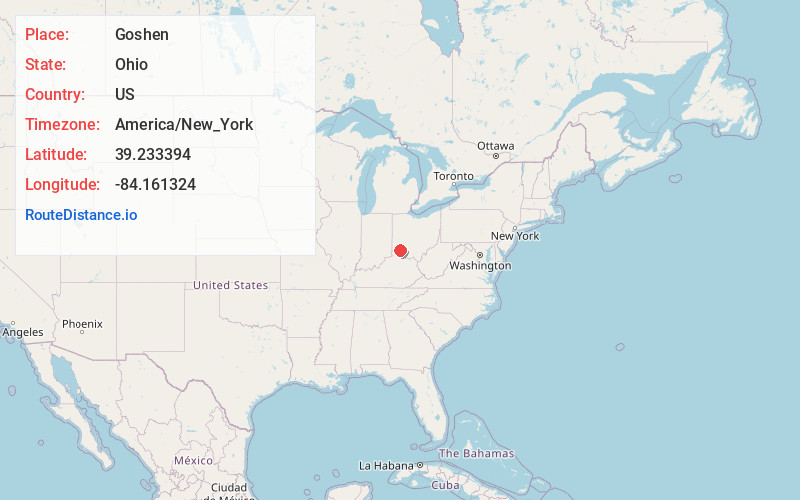
Full AddressGoshen, OH 45122
-
Coordinates39.2333935, -84.1613239
-
LocationGoshen , Ohio , US
-
TimezoneAmerica/New_York
-
Current Local Time2:54:43 PM America/New_YorkThursday, June 19, 2025
-
Page Views0
About Goshen
Goshen is a census-designated place in central Goshen Township, Clermont County, Ohio, United States. The population was 715 at the 2020 census. It is centered on State Route 28, approximately midway between Milford and Blanchester.


Nearby Places
Found 10 places within 50 miles

Mt Repose
4.1 mi
6.6 km
Mt Repose, OH 45150
Get directions
Mulberry
5.1 mi
8.2 km
Mulberry, OH 45150
Get directions
Day Heights
5.4 mi
8.7 km
Day Heights, OH 45150
Get directions

Loveland
6.0 mi
9.7 km
Loveland, OH 45140
Get directions

Maineville
6.5 mi
10.5 km
Maineville, OH
Get directions

Loveland Park
7.1 mi
11.4 km
Loveland Park, OH
Get directions
Owensville
7.8 mi
12.6 km
Owensville, OH
Get directions

Milford
8.2 mi
13.2 km
Milford, OH
Get directions

Landen
8.5 mi
13.7 km
Landen, OH
Get directions

Morrow
8.6 mi
13.8 km
Morrow, OH 45152
Get directions
Location Links
Local Weather
Weather Information
Coming soon!
Location Map
Static map view of Goshen, Ohio
Browse Places by Distance
Places within specific distances from Goshen
Short Distances
Long Distances
Click any distance to see all places within that range from Goshen. Distances shown in miles (1 mile ≈ 1.61 kilometers).