Distance to Morrow, Ohio

Calculating Your Route
Just a moment while we process your request...
Location Information
-
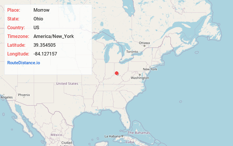
Full AddressMorrow, OH 45152
-
Coordinates39.3545046, -84.1271568
-
LocationMorrow , Ohio , US
-
TimezoneAmerica/New_York
-
Current Local Time10:33:29 AM America/New_YorkWednesday, June 25, 2025
-
Website
-
Page Views0
About Morrow
Morrow is a village in Salem Township, Warren County, Ohio, United States. The population was 2,049 at the 2020 census.


Nearby Places
Found 10 places within 50 miles

South Lebanon
4.7 mi
7.6 km
South Lebanon, OH
Get directions

Lebanon
6.9 mi
11.1 km
Lebanon, OH 45036
Get directions

Blanchester
8.5 mi
13.7 km
Blanchester, OH 45107
Get directions

Landen
8.8 mi
14.2 km
Landen, OH
Get directions

Loveland
9.4 mi
15.1 km
Loveland, OH 45140
Get directions

Mason
9.8 mi
15.8 km
Mason, OH
Get directions

Mt Repose
11.8 mi
19.0 km
Mt Repose, OH 45150
Get directions
Sixteen Mile Stand
12.1 mi
19.5 km
Sixteen Mile Stand, OH 45249
Get directions
Four Bridges
12.2 mi
19.6 km
Four Bridges, OH
Get directions

Waynesville
12.3 mi
19.8 km
Waynesville, OH 45068
Get directions
Location Links
Local Weather
Weather Information
Coming soon!
Location Map
Static map view of Morrow, Ohio
Browse Places by Distance
Places within specific distances from Morrow
Short Distances
Long Distances
Click any distance to see all places within that range from Morrow. Distances shown in miles (1 mile ≈ 1.61 kilometers).