Distance to Egnar, Colorado

Calculating Your Route
Just a moment while we process your request...
Location Information
-
Full AddressEgnar, CO 81324
-
Coordinates37.9163803, -108.9401062
-
LocationEgnar , Colorado , US
-
TimezoneAmerica/Denver
-
Current Local Time12:42:27 AM America/DenverFriday, June 20, 2025
-
Page Views0
About Egnar
Egnar is an unincorporated community in San Miguel County, Colorado, United States. Egnar has a U.S. Post Office with the ZIP Code 81325.


Nearby Places
Found 10 places within 50 miles

Northdale
8.5 mi
13.7 km
Northdale, CO 81324
Get directions
Slick Rock
8.5 mi
13.7 km
Slick Rock, CO 81325
Get directions

Dove Creek
10.6 mi
17.1 km
Dove Creek, CO 81324
Get directions
Eastland
13.1 mi
21.1 km
Eastland, UT 84535
Get directions

Cahone
19.1 mi
30.7 km
Cahone, CO 81320
Get directions

Monticello
22.2 mi
35.7 km
Monticello, UT 84535
Get directions
Verdure
24.1 mi
38.8 km
Verdure, UT 84535
Get directions
Basin
24.3 mi
39.1 km
Basin, CO 81431
Get directions

Pleasant View
24.6 mi
39.6 km
Pleasant View, CO 81331
Get directions

Casa Colorado Rock
27.2 mi
43.8 km
Casa Colorado Rock, Utah 84535
Get directions
Location Links
Local Weather
Weather Information
Coming soon!
Location Map
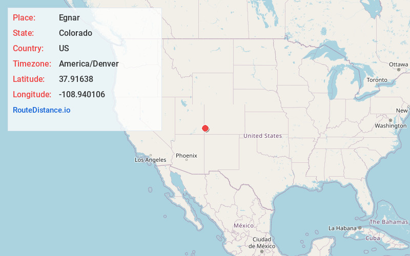
Static map view of Egnar, Colorado
Browse Places by Distance
Places within specific distances from Egnar
Short Distances
Long Distances
Click any distance to see all places within that range from Egnar. Distances shown in miles (1 mile ≈ 1.61 kilometers).