Distance to El Jobean, Florida

Calculating Your Route
Just a moment while we process your request...
Location Information
-
Full AddressEl Jobean, FL 33953
-
Coordinates26.964505, -82.2106476
-
LocationEl Jobean , Florida , US
-
TimezoneAmerica/New_York
-
Current Local Time5:38:57 PM America/New_YorkTuesday, June 17, 2025
-
Page Views0
About El Jobean
El Jobean is an unincorporated community in Charlotte County, Florida, United States. It is located off State Road 776, on the northern banks of the Myakka River. The community is part of the Sarasota-Bradenton-Punta Gorda Combined Statistical Area. The ZIP Code for El Jobean is 33953
.


Nearby Places
Found 10 places within 50 miles

Port Charlotte
5.2 mi
8.4 km
Port Charlotte, FL
Get directions

Tarpon Point
5.7 mi
9.2 km
Tarpon Point, FL 34293
Get directions

Warm Mineral Springs
6.8 mi
10.9 km
Warm Mineral Springs, FL 34287
Get directions

Rotonda West
7.4 mi
11.9 km
Rotonda West, FL
Get directions

North Port
7.6 mi
12.2 km
North Port, FL
Get directions
Grove City
8.0 mi
12.9 km
Grove City, FL 34224
Get directions

Englewood
8.8 mi
14.2 km
Englewood, FL
Get directions
Cape Haze
9.4 mi
15.1 km
Cape Haze, FL 33946
Get directions

Manasota Key
9.6 mi
15.4 km
Manasota Key, FL 34223
Get directions

Punta Gorda
10.5 mi
16.9 km
Punta Gorda, FL
Get directions
Location Links
Local Weather
Weather Information
Coming soon!
Location Map
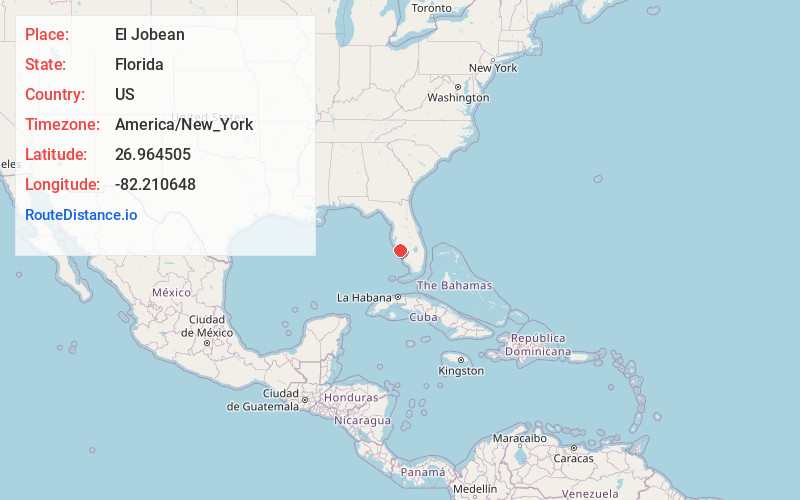
Static map view of El Jobean, Florida
Browse Places by Distance
Places within specific distances from El Jobean
Short Distances
Long Distances
Click any distance to see all places within that range from El Jobean. Distances shown in miles (1 mile ≈ 1.61 kilometers).