Distance to Elkland, Missouri

Calculating Your Route
Just a moment while we process your request...
Location Information
-
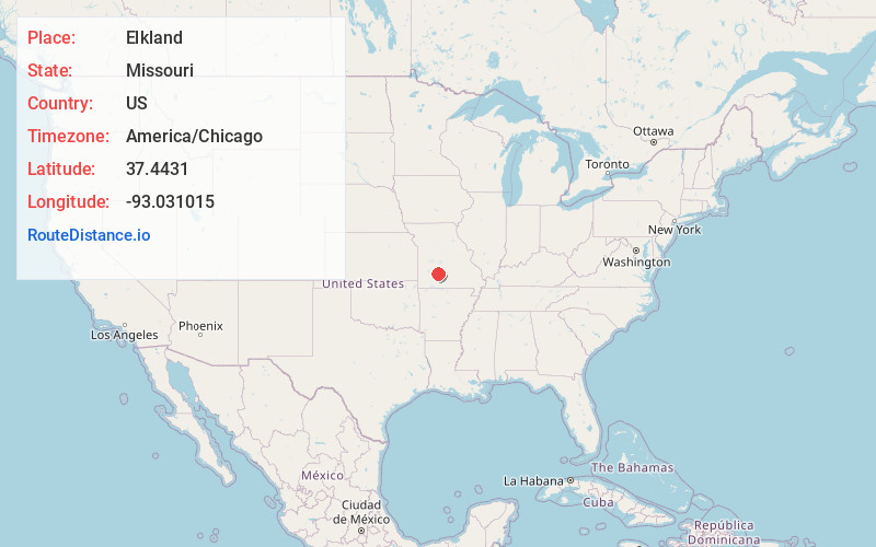
Full AddressElkland, MO 65644
-
Coordinates37.4430998, -93.031015
-
LocationElkland , Missouri , US
-
TimezoneAmerica/Chicago
-
Current Local Time4:27:42 AM America/ChicagoWednesday, June 18, 2025
-
Page Views0
About Elkland
Elkland is an unincorporated community in northwestern Webster County, Missouri, United States. It is located on Route 38, approximately ten miles northwest of Marshfield. Elkland is part of the Springfield, Missouri Metropolitan Statistical Area.
A post office called Elkland has been in operation since 1870.
Nearby Places
Found 10 places within 50 miles

Thorpe
3.5 mi
5.6 km
Thorpe, Jackson Township, MO 65644
Get directions
Conklin
4.0 mi
6.4 km
Conklin, Grant Township, MO 65706
Get directions
Olive
4.4 mi
7.1 km
Olive, Sheridan Township, MO 65648
Get directions
Caddo
7.1 mi
11.4 km
Caddo, Grant Township, MO 65757
Get directions

Fair Grove
7.8 mi
12.6 km
Fair Grove, MO 65648
Get directions
Red Top
10.0 mi
16.1 km
Red Top, Northview Township, MO 65706
Get directions

Marshfield
10.4 mi
16.7 km
Marshfield, MO 65706
Get directions
Earnestville
11.1 mi
17.9 km
Earnestville, Washington Township, MO 65590
Get directions

Niangua
11.5 mi
18.5 km
Niangua, MO 65713
Get directions

Conway
12.2 mi
19.6 km
Conway, MO 65632
Get directions
Location Links
Local Weather
Weather Information
Coming soon!
Location Map
Static map view of Elkland, Missouri
Browse Places by Distance
Places within specific distances from Elkland
Short Distances
Long Distances
Click any distance to see all places within that range from Elkland. Distances shown in miles (1 mile ≈ 1.61 kilometers).