Distance to Red Top, Missouri

Calculating Your Route
Just a moment while we process your request...
Location Information
-
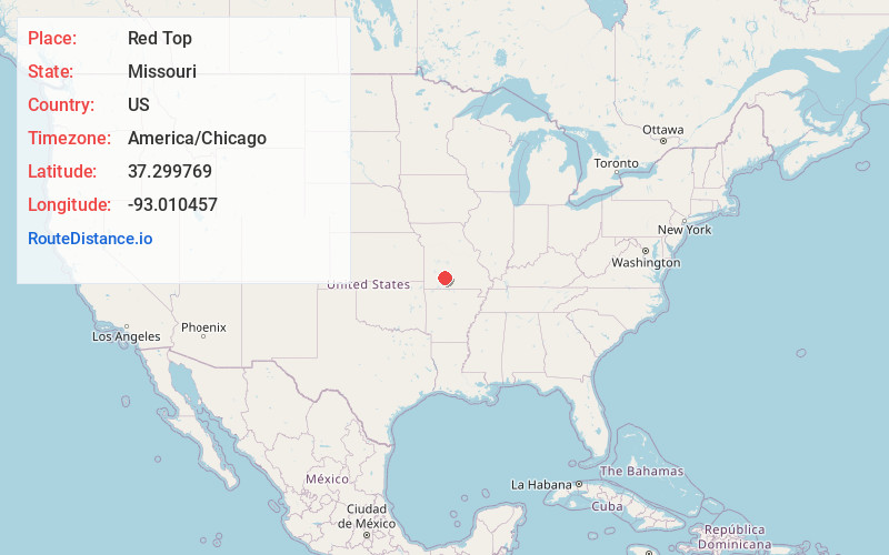
Full AddressRed Top, Northview Township, MO 65706
-
Coordinates37.2997691, -93.0104565
-
LocationNorthview Township , Missouri , US
-
TimezoneAmerica/Chicago
-
Current Local Time11:21:50 PM America/ChicagoSunday, June 22, 2025
-
Page Views0
About Red Top
Red Top is an unincorporated community in Webster County, Missouri, United States. It is located just south of I-44 on former U.S. Route 66. It is two miles northwest of Northview or six miles southwest of Marshfield, and six miles northeast of Strafford.
Nearby Places
Found 10 places within 50 miles

Marshfield
6.1 mi
9.8 km
Marshfield, MO 65706
Get directions

Strafford
6.3 mi
10.1 km
Strafford, MO 65757
Get directions

Fair Grove
9.7 mi
15.6 km
Fair Grove, MO 65648
Get directions

Fordland
10.6 mi
17.1 km
Fordland, MO 65652
Get directions

Niangua
11.5 mi
18.5 km
Niangua, MO 65713
Get directions

Olive
12.3 mi
19.8 km
Olive, Sheridan Township, MO 65648
Get directions
Diggins
12.3 mi
19.8 km
Diggins, MO 65746
Get directions

Rogersville
12.9 mi
20.8 km
Rogersville, MO 65742
Get directions
Vance
15.9 mi
25.6 km
Vance, Union Township, MO 65713
Get directions

Springfield
16.7 mi
26.9 km
Springfield, MO
Get directions
Location Links
Local Weather
Weather Information
Coming soon!
Location Map
Static map view of Red Top, Missouri
Browse Places by Distance
Places within specific distances from Red Top
Short Distances
Long Distances
Click any distance to see all places within that range from Red Top. Distances shown in miles (1 mile ≈ 1.61 kilometers).