Distance to Elm Springs, South Dakota

Calculating Your Route
Just a moment while we process your request...
Location Information
-
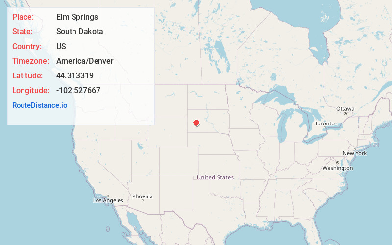
Full AddressElm Springs, SD 57791
-
Coordinates44.3133187, -102.5276665
-
LocationElm Springs , South Dakota , US
-
TimezoneAmerica/Denver
-
Current Local Time12:42:56 PM America/DenverFriday, June 13, 2025
-
Page Views0
About Elm Springs
Elm Springs is an unincorporated community in Meade County, South Dakota, United States. The locality was settled in 1893. Although not tracked by the Census Bureau, Elm Springs had been assigned the ZIP code of 57736. It now uses the zipcode from Wasta, which is 57791.
Nearby Places
Found 10 places within 50 miles

Wasta
17.4 mi
28.0 km
Wasta, SD 57791
Get directions

New Underwood
21.6 mi
34.8 km
New Underwood, SD 57761
Get directions

Wall
26.3 mi
42.3 km
Wall, SD 57790
Get directions

Quinn
30.0 mi
48.3 km
Quinn, SD 57775
Get directions

Box Elder
30.2 mi
48.6 km
Box Elder, SD
Get directions
Ashland Heights
32.2 mi
51.8 km
Ashland Heights, SD
Get directions

Bridger
34.4 mi
55.4 km
Bridger, SD 57553
Get directions
Green Valley
34.8 mi
56.0 km
Green Valley, SD 57703
Get directions
Rapid Valley
35.2 mi
56.6 km
Rapid Valley, SD 57703
Get directions
Hartley
36.0 mi
57.9 km
Hartley, SD 57567
Get directions
Location Links
Local Weather
Weather Information
Coming soon!
Location Map
Static map view of Elm Springs, South Dakota
Browse Places by Distance
Places within specific distances from Elm Springs
Short Distances
Long Distances
Click any distance to see all places within that range from Elm Springs. Distances shown in miles (1 mile ≈ 1.61 kilometers).