Distance to Elmira, Oregon

Calculating Your Route
Just a moment while we process your request...
Location Information
-
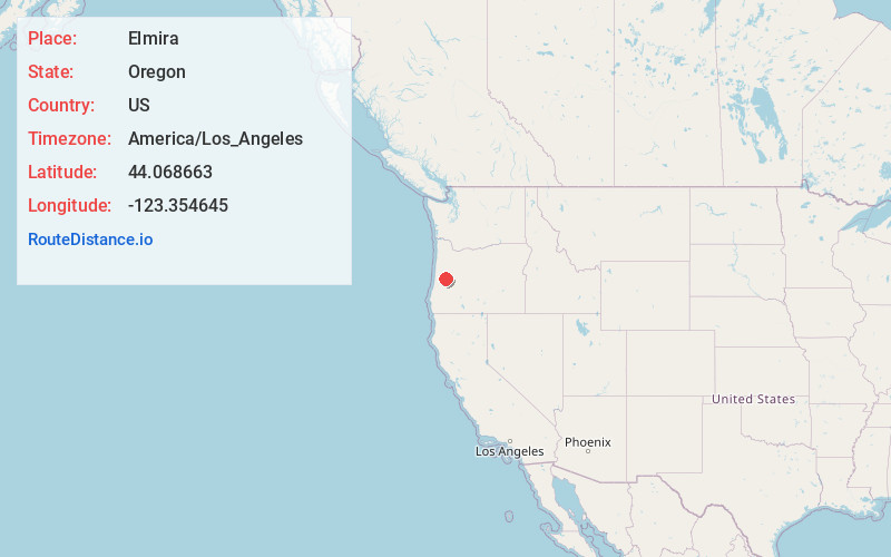
Full AddressElmira, OR
-
Coordinates44.068663, -123.3546445
-
LocationElmira , Oregon , US
-
TimezoneAmerica/Los_Angeles
-
Current Local Time2:21:13 AM America/Los_AngelesWednesday, June 18, 2025
-
Page Views0
About Elmira
Elmira is an unincorporated community and census-designated place in Lane County, Oregon, United States. It is located west of Eugene and north of Veneta and Oregon Route 126, near the Long Tom River and Fern Ridge Reservoir.


Nearby Places
Found 10 places within 50 miles

Veneta
1.4 mi
2.3 km
Veneta, OR 97487
Get directions

River Rd
11.0 mi
17.7 km
River Rd, OR 97404
Get directions

Junction City
12.8 mi
20.6 km
Junction City, OR 97448
Get directions

Eugene
13.2 mi
21.2 km
Eugene, OR
Get directions

Coburg
15.1 mi
24.3 km
Coburg, OR 97408
Get directions

Springfield
16.6 mi
26.7 km
Springfield, OR
Get directions

Harrisburg
16.9 mi
27.2 km
Harrisburg, OR 97446
Get directions

Monroe
17.2 mi
27.7 km
Monroe, OR 97456
Get directions

Creswell
19.4 mi
31.2 km
Creswell, OR 97426
Get directions
Jasper
22.8 mi
36.7 km
Jasper, OR
Get directions
Location Links
Local Weather
Weather Information
Coming soon!
Location Map
Static map view of Elmira, Oregon
Browse Places by Distance
Places within specific distances from Elmira
Short Distances
Long Distances
Click any distance to see all places within that range from Elmira. Distances shown in miles (1 mile ≈ 1.61 kilometers).