Distance to Elsmere, Nebraska

Calculating Your Route
Just a moment while we process your request...
Location Information
-
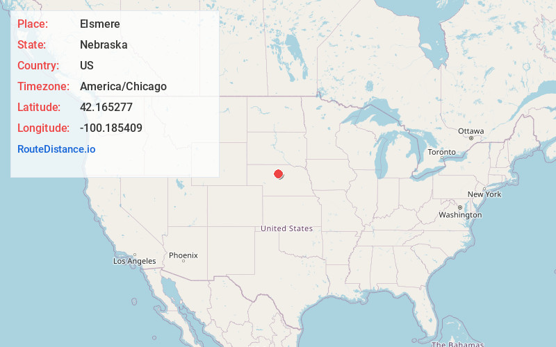
Full AddressElsmere, NE 69157
-
Coordinates42.1652766, -100.1854091
-
LocationElsmere , Nebraska , US
-
TimezoneAmerica/Chicago
-
Current Local Time12:29:10 PM America/ChicagoThursday, June 19, 2025
-
Page Views0
About Elsmere
Elsmere is an unincorporated community in southeastern Cherry County, Nebraska, United States. It lies along local roads southeast of the city of Valentine, the county seat of Cherry County. Its elevation is 2,687 feet.
Nearby Places
Found 10 places within 50 miles

Koshopah
6.1 mi
9.8 km
Koshopah, Johnstown Precinct, NE 69157
Get directions
Purdum
8.0 mi
12.9 km
Purdum, NE
Get directions

Halsey
18.6 mi
29.9 km
Halsey, NE
Get directions
Blaine County
22.1 mi
35.6 km
Blaine County, NE
Get directions

Brewster
22.7 mi
36.5 km
Brewster, NE
Get directions
Dunning
23.8 mi
38.3 km
Dunning, NE 68833
Get directions

Thedford
23.8 mi
38.3 km
Thedford, NE 69166
Get directions
Brownlee
24.1 mi
38.8 km
Brownlee, NE 69166
Get directions
Johnstown
28.9 mi
46.5 km
Johnstown, NE 69214
Get directions
Sandridge
29.6 mi
47.6 km
Sandridge, Ainsworth Precinct, NE 69210
Get directions
Location Links
Local Weather
Weather Information
Coming soon!
Location Map
Static map view of Elsmere, Nebraska
Browse Places by Distance
Places within specific distances from Elsmere
Short Distances
Long Distances
Click any distance to see all places within that range from Elsmere. Distances shown in miles (1 mile ≈ 1.61 kilometers).