Distance to Embry Hills, Georgia

Calculating Your Route
Just a moment while we process your request...
Location Information
-
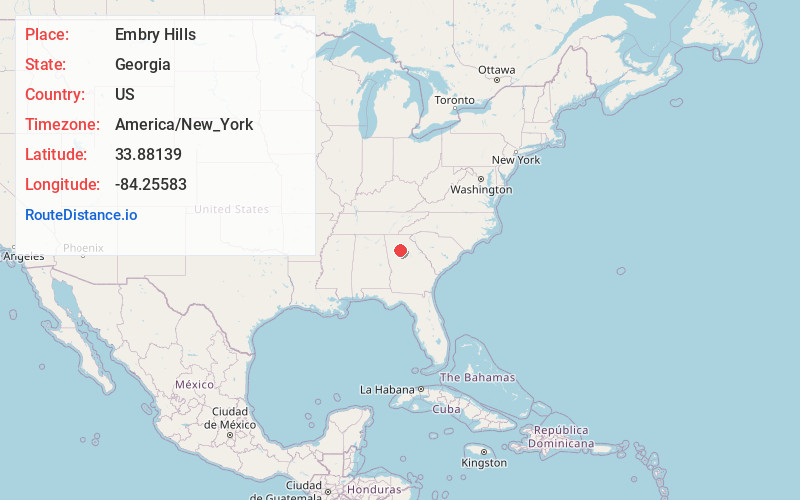
Full AddressEmbry Hills, GA 30341
-
Coordinates33.88139, -84.25583
-
LocationEmbry Hills , Georgia , US
-
TimezoneAmerica/New_York
-
Current Local Time5:16:23 PM America/New_YorkWednesday, May 21, 2025
-
Page Views0
About Embry Hills
Embry Hills is a neighborhood in northern unincorporated DeKalb County, Georgia, United States, near the intersection of I-85 and I-285. The neighborhood has a mix of middle-class young families and retirees.
Nearby Places
Found 10 places within 50 miles

Northwoods
1.8 mi
2.9 km
Northwoods, Chamblee, GA 30341
Get directions

Doraville
2.0 mi
3.2 km
Doraville, GA
Get directions
Pittsburg
2.1 mi
3.4 km
Pittsburg, GA 30340
Get directions

Chamblee
2.6 mi
4.2 km
Chamblee, GA
Get directions

Tucker
2.9 mi
4.7 km
Tucker, GA
Get directions
Montreal
4.1 mi
6.6 km
Montreal, Tucker, GA 30084
Get directions

Norcross
4.8 mi
7.7 km
Norcross, GA
Get directions

Brookhaven
4.8 mi
7.7 km
Brookhaven, GA
Get directions

Clarkston
5.1 mi
8.2 km
Clarkston, GA
Get directions

Crooked Creek
5.1 mi
8.2 km
Crooked Creek, Georgia
Get directions
Location Links
Local Weather
Weather Information
Coming soon!
Location Map
Static map view of Embry Hills, Georgia
Browse Places by Distance
Places within specific distances from Embry Hills
Short Distances
Long Distances
Click any distance to see all places within that range from Embry Hills. Distances shown in miles (1 mile ≈ 1.61 kilometers).