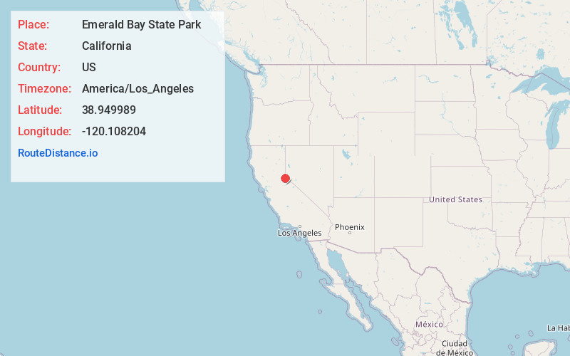
Distance to Emerald Bay State Park, California

Calculating Your Route
Just a moment while we process your request...
Location Information
-
Full AddressEmerald Bay State Park, California 96150
-
Coordinates38.9499894, -120.1082038
-
LocationCalifornia , US
-
TimezoneAmerica/Los_Angeles
-
Current Local Time8:44:40 PM America/Los_AngelesTuesday, May 20, 2025
-
Website
-
Page Views0
About Emerald Bay State Park
Landmarked in 1994 for its glacier-carved granite, this park features panoramic views of the lake.


Nearby Places
Found 10 places within 50 miles

Emerald Bay
0.9 mi
1.4 km
Emerald Bay, CA 96150
Get directions

Kiva Beach
3.1 mi
5.0 km
Kiva Beach, CA 96150
Get directions
Camp Richardson
3.8 mi
6.1 km
Camp Richardson, CA 96150
Get directions

Fallen Leaf Lake
4.1 mi
6.6 km
Fallen Leaf Lake, South Lake Tahoe, CA 96150
Get directions

Tallac Village
5.0 mi
8.0 km
Tallac Village, South Lake Tahoe, CA 96150
Get directions

Grass Lake
5.3 mi
8.5 km
Grass Lake, California 96150
Get directions

Meeks Bay
5.9 mi
9.5 km
Meeks Bay, CA 96150
Get directions

South Lake Tahoe
7.1 mi
11.4 km
South Lake Tahoe, CA 96150
Get directions

Tahoma
8.2 mi
13.2 km
Tahoma, CA 96142
Get directions

Meyers
8.3 mi
13.4 km
Meyers, CA 96150
Get directions
Location Links
Local Weather
Weather Information
Coming soon!
Location Map
Static map view of Emerald Bay State Park, California
Browse Places by Distance
Places within specific distances from Emerald Bay State Park
Short Distances
Long Distances
Click any distance to see all places within that range from Emerald Bay State Park. Distances shown in miles (1 mile ≈ 1.61 kilometers).