Distance to Fallen Leaf Lake, California

Calculating Your Route
Just a moment while we process your request...
Location Information
-
Full AddressFallen Leaf Lake, South Lake Tahoe, CA 96150
-
Coordinates38.9024485, -120.0614551
-
LocationSouth Lake Tahoe , California , US
-
TimezoneAmerica/Los_Angeles
-
Current Local Time9:11:34 AM America/Los_AngelesThursday, June 19, 2025
-
Page Views0
About Fallen Leaf Lake
Deep national-forest glacial lake stretching nearly 3 miles, popular for boating, fishing & camping.


Nearby Places
Found 10 places within 50 miles

Tallac Village
2.5 mi
4.0 km
Tallac Village, South Lake Tahoe, CA 96150
Get directions

Meyers
4.1 mi
6.6 km
Meyers, CA 96150
Get directions

Echo Lake
4.9 mi
7.9 km
Echo Lake, CA 95721
Get directions
Nebelhorn
6.5 mi
10.5 km
Nebelhorn, CA 96150
Get directions
Edgewood
7.6 mi
12.2 km
Edgewood, Stateline, NV 89449
Get directions

Stateline
7.7 mi
12.4 km
Stateline, NV
Get directions

Upper Forni
8.1 mi
13.0 km
Upper Forni, CA 95735
Get directions

Round Hill Village
8.5 mi
13.7 km
Round Hill Village, NV 89448
Get directions

Zephyr Cove
9.0 mi
14.5 km
Zephyr Cove, NV 89448
Get directions

Kingsbury
9.8 mi
15.8 km
Kingsbury, NV
Get directions
Location Links
Local Weather
Weather Information
Coming soon!
Location Map
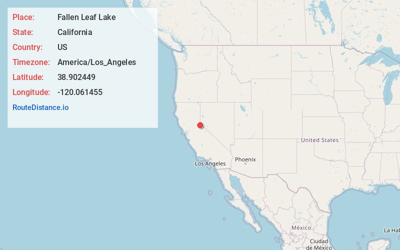
Static map view of Fallen Leaf Lake, California
Browse Places by Distance
Places within specific distances from Fallen Leaf Lake
Short Distances
Long Distances
Click any distance to see all places within that range from Fallen Leaf Lake. Distances shown in miles (1 mile ≈ 1.61 kilometers).